Area Overview for B9 5UN
Photos of B9 5UN
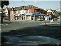
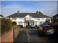
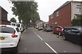
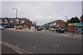
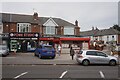
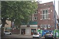
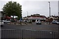
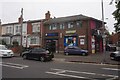
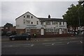
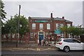
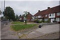
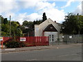
28 photos from this area
Area Information
Key information about the B9 5UN including its size, population, and administrative classification.
- Area Type
- Postcode
- Area Size
- 1.3 hectares
- Population
- 2101
- Population Density
- 6390 people/km²
House Prices in B9 5UN
31
Properties
£110,405
Average Sold Price
£35,000
Lowest Price
£180,000
Highest Price
Showing 31 properties
| Address | Type | Beds | Baths | Last Sale Price | Last Sale Date | |
|---|---|---|---|---|---|---|
| 29 Alston Road, Birmingham, B9 5UN | house | - | - | £180,000 | Feb 2022 | |
| 5 Alston Road, Birmingham, B9 5UN | house | 3 | - | £130,000 | Aug 2020 | |
| 7 Alston Road, Birmingham, B9 5UN | Terraced | 3 | - | £108,000 | Sep 2015 | |
| 32 Alston Road, Birmingham, B9 5UN | Semi-detached | - | - | £104,000 | Feb 2014 | |
| 23 Alston Road, Birmingham, B9 5UN | Terraced | 3 | 1 | £88,000 | Feb 2013 | |
| 35 Alston Road, Birmingham, B9 5UN | house | - | - | £150,000 | May 2008 | |
| 17 Alston Road, Birmingham, B9 5UN | Semi-detached | - | - | £107,000 | Feb 2007 | |
| 34 Alston Road, Birmingham, B9 5UN | house | - | - | £129,950 | Jul 2006 | |
| 15 Alston Road, Birmingham, B9 5UN | house | - | - | £105,000 | Nov 2004 | |
| 25 Alston Road, Birmingham, B9 5UN | house | - | - | £77,500 | Nov 2002 |
Page 1 of 4
Energy Efficiency in B9 5UN
Amenities
Schools
| Rank | School | Type | Entry gender | Ages |
|---|
Explore more schools in this area
Go to Schools tabDemographics
Household Size
Family (3-5 people)
most common
Accommodation Type
Houses
most common
Tenure
50
majority
Ethnic Group
asian_total
most common
Religion
N/A
most common
Household Composition
N/A
most common
Age
22
median
Adults (30-64 years)
most common
Household Deprivation
N/A
with no deprivation
NS-SEC
13
in Lower managerial occupations
Explore more demographic insights in this area
Go to Demographics tabPlanning
Planning Constraints
- Flood RiskPremium
- Ramsar Wetland SitesPremium
- Area of Outstanding Natural BeautyPremium
- Protected Nature ReservePremium
- Protected WoodlandPremium