Area Overview for B9 5RP
Photos of B9 5RP
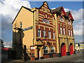
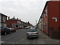
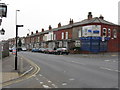
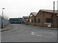
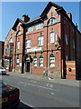
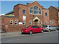
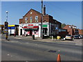
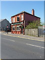
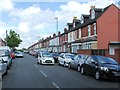
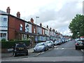
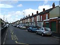
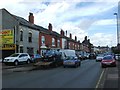
57 photos from this area
Area Information
Key information about the B9 5RP including its size, population, and administrative classification.
- Area Type
- Postcode
- Area Size
- 456 m²
- Population
- 2437
- Population Density
- 14489 people/km²
House Prices in B9 5RP
5
Properties
£73,000
Average Sold Price
£73,000
Lowest Price
£73,000
Highest Price
Showing 5 properties
| Address | Type | Beds | Baths | Last Sale Price | Last Sale Date | |
|---|---|---|---|---|---|---|
| 371 BORDESLEY GREEN, Bordesley Green, Birmingham, B9 5RP | Unknown | - | - | £73,000 | Jan 2012 | |
| BORDESLEY GREEN TRADING ESTATE, 281 BORDESLEY GREEN, Nechells, Birmingham, B9 5RP | Unknown | - | - | - | - | |
| 371A Bordesley Green, Bordesley Green, Birmingham, B9 5RP | retail_financial | - | - | - | - | |
| 371B Bordesley Green, Bordesley Green, Birmingham, B9 5RP | Office | - | - | - | - | |
| Flat, 371C Bordesley Green, Bordesley Green, Birmingham, B9 5RP | Flat | - | - | - | - |
Energy Efficiency in B9 5RP
Amenities
Schools
| Rank | School | Type | Entry gender | Ages |
|---|
Explore more schools in this area
Go to Schools tabDemographics
Household Size
Family (3-5 people)
most common
Accommodation Type
Houses
most common
Tenure
63
majority
Ethnic Group
asian_total
most common
Religion
N/A
most common
Household Composition
N/A
most common
Age
22
median
Adults (30-64 years)
most common
Household Deprivation
N/A
with no deprivation
NS-SEC
10
in Lower managerial occupations
Explore more demographic insights in this area
Go to Demographics tabPlanning
Planning Constraints
- Flood RiskPremium
- Ramsar Wetland SitesPremium
- Area of Outstanding Natural BeautyPremium
- Protected Nature ReservePremium
- Protected WoodlandPremium