Area Overview for B80 7QW
Photos of B80 7QW
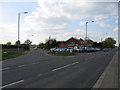

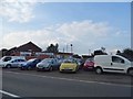

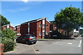
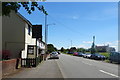
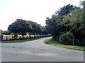
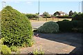
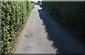
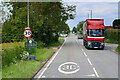
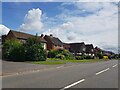
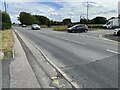
31 photos from this area
Area Information
Key information about the B80 7QW including its size, population, and administrative classification.
- Area Type
- Postcode
- Area Size
- 8114 m²
- Population
- 1528
- Population Density
- 1487 people/km²
House Prices in B80 7QW
32
Properties
£152,152
Average Sold Price
£41,500
Lowest Price
£300,000
Highest Price
Showing 32 properties
| Address | Type | Beds | Baths | Last Sale Price | Last Sale Date | |
|---|---|---|---|---|---|---|
| 27 Lords Lane, Studley, B80 7QW | Detached | 2 | 1 | £280,000 | Aug 2025 | |
| 22 Lords Lane, Studley, B80 7QW | Maisonette | 2 | 1 | £163,000 | Mar 2025 | |
| Western House, Lords Lane, Studley, B80 7QW | Semi-detached | 3 | 1 | £300,000 | Nov 2024 | |
| 35 Lords Lane, Studley, B80 7QW | Maisonette | 2 | 1 | £150,000 | May 2024 | |
| 28 Lords Lane, Studley, B80 7QW | Terraced | 3 | 1 | £190,000 | Feb 2024 | |
| 29 Lords Lane, Studley, B80 7QW | Flat | 2 | 1 | £175,000 | Jan 2024 | |
| 36 Lords Lane, Studley, B80 7QW | Maisonette | 2 | 1 | £112,000 | Dec 2023 | |
| 2 Lords Lane, Studley, B80 7QW | Detached | 2 | 1 | £170,000 | Jun 2022 | |
| 12 Lords Lane, Studley, B80 7QW | Maisonette | 3 | 1 | £145,000 | Feb 2022 | |
| 23A Lords Lane, Studley, B80 7QW | Semi-detached | 3 | - | £200,000 | Jul 2021 |
Page 1 of 4
Energy Efficiency in B80 7QW
Amenities
Schools
| Rank | School | Type | Entry gender | Ages |
|---|
Explore more schools in this area
Go to Schools tabDemographics
Household Size
Two person
most common
Accommodation Type
Houses
most common
Tenure
66
majority
Ethnic Group
White
most common
Religion
N/A
most common
Household Composition
N/A
most common
Age
47
median
Adults (30-64 years)
most common
Household Deprivation
N/A
with no deprivation
NS-SEC
31
in Lower managerial occupations
Explore more demographic insights in this area
Go to Demographics tabPlanning
Planning Constraints
- Flood RiskPremium
- Ramsar Wetland SitesPremium
- Area of Outstanding Natural BeautyPremium
- Protected Nature ReservePremium
- Protected WoodlandPremium