Area Overview for B8 2XY
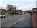
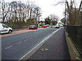
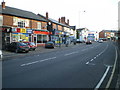
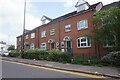
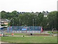
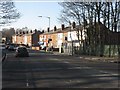
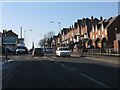
Photos of B8 2XY

Area Information
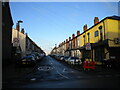
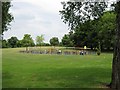
Living in B8 2XY, a small residential cluster in Birmingham’s east, means being part of a tightly knit community with a distinct character. The area, home to 1,811 residents, lies between Saltley, Hodge Hill, Stechford, and Washwood Heath. Historically rooted, it includes Ward End Park, a public space open for over a century, and Ward End House, a historic building with Victorian additions. The area’s proximity to major transport routes and retail hubs makes it practical for daily life, while its mix of older and newer housing reflects a blend of traditional and modern living. With a median age of 22, the population skews younger, though the most common age range is 30–64, suggesting a balance of young professionals and established families. The area’s compact size means amenities are within easy reach, and its location near key infrastructure supports both convenience and connectivity.
- Area Type
- Postcode
- Area Size
- Not available
- Population
- 1811
- Population Density
- 11390 people/km²
The property market in B8 2XY is characterised by a 43% home ownership rate, indicating a significant portion of the housing stock is rented. The area is predominantly composed of houses, which is atypical for inner-city locations, suggesting a focus on family homes. This mix of owner-occupied and rental properties may appeal to both long-term residents and those seeking stable housing. Given the area’s small size, the housing stock is likely limited, making it a niche market for buyers. The presence of houses rather than flats or apartments implies a preference for private, spacious living. For buyers, this means competition may be higher, but the availability of traditional housing could be a draw for those prioritising space and privacy. Proximity to transport and amenities also enhances the area’s appeal.
House Prices in B8 2XY
No properties found in this postcode.
Energy Efficiency in B8 2XY
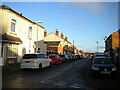
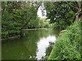
Residents of B8 2XY have access to a range of amenities within practical reach. Retail options include Costco Birmingham, Asda Armada, and Iceland Washwood, catering to both everyday needs and larger shopping trips. Public transport is abundant, with rail stations such as Adderley Park and Duddeston, as well as metro stops like Bull Street and Corporation Street, ensuring easy movement around the city. The area’s green spaces include Ward End Park, a historic site featuring Ward End House, offering a peaceful retreat within the urban environment. This blend of shopping, transport, and open space supports a balanced lifestyle, with opportunities for leisure, exercise, and community engagement. The presence of a well-rated primary school further enhances the area’s appeal for families.
Amenities
Schools
Near B8 2XY, the primary school Highfield Junior and Infant School serves the community. It is listed as both a primary school and an academy with a good Ofsted rating. This dual designation suggests a focus on both foundational education and independent governance, which can offer flexibility in teaching approaches. The school’s good rating indicates a standard of education that meets or exceeds national benchmarks, which is reassuring for families. The presence of a single primary school in the area may mean parents must consider proximity to secondary schools, but the school’s quality provides a strong start for younger children. The mix of school types—primarily focused on primary education—suggests a need for additional research into secondary options, though the existing school is a solid foundation.
| Rank | School | Type | Entry gender | Ages |
|---|
Explore more schools in this area
Go to Schools tabDemographics
B8 2XY has a median age of 22, but the most common age range is 30–64 years, indicating a mix of younger residents and middle-aged adults. Home ownership stands at 43%, meaning nearly half of properties are rented, reflecting a rental-heavy market. The area is predominantly composed of houses, which is unusual for urban settings, suggesting a focus on family-oriented living. The predominant ethnic group is Asian_total, though specific breakdowns are not provided. The population density, while modest, implies a community-oriented environment. The absence of deprivation data means quality of life factors like access to services and green spaces must be inferred from available amenities. The demographic profile suggests a stable, working-age population with a strong presence of households in their prime earning years.
Household Size
Accommodation Type
Tenure
Ethnic Group
Religion
Household Composition
Age
Household Deprivation
NS-SEC
Explore more demographic insights in this area
Go to Demographics tabPlanning
Planning Constraints
- Flood RiskPremium
- Ramsar Wetland SitesPremium
- Area of Outstanding Natural BeautyPremium
- Protected Nature ReservePremium
- Protected WoodlandPremium