Area Overview for B8 2JR
Photos of B8 2JR
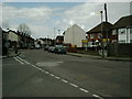

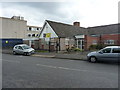

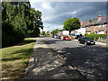
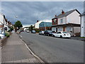
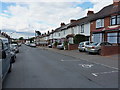


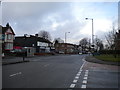

26 photos from this area
Area Information
Key information about the B8 2JR including its size, population, and administrative classification.
- Area Type
- Postcode
- Area Size
- 2742 m²
- Population
- 2752
- Population Density
- 10856 people/km²
House Prices in B8 2JR
12
Properties
£94,821
Average Sold Price
£27,000
Lowest Price
£162,500
Highest Price
Showing 12 properties
| Address | Type | Beds | Baths | Last Sale Price | Last Sale Date | |
|---|---|---|---|---|---|---|
| 97 Foley Road, Birmingham, B8 2JR | house | - | - | £162,500 | Mar 2021 | |
| 85 Foley Road, Birmingham, B8 2JR | house | - | - | £123,250 | Mar 2016 | |
| 93 Foley Road, Birmingham, B8 2JR | Terraced | 3 | - | £116,500 | Feb 2016 | |
| 89 Foley Road, Birmingham, B8 2JR | Terraced | 3 | 1 | £127,500 | Apr 2007 | |
| 101 Foley Road, Birmingham, B8 2JR | house | - | - | £69,000 | Apr 2002 | |
| 95 Foley Road, Birmingham, B8 2JR | house | - | - | £38,000 | Mar 2000 | |
| 107 Foley Road, Birmingham, B8 2JR | undefined | - | - | £27,000 | Aug 1997 | |
| 105 Foley Road, Birmingham, B8 2JR | undefined | - | - | - | - | |
| 106 Foley Road, Birmingham, B8 2JR | undefined | - | - | - | - | |
| 104 Foley Road, Birmingham, B8 2JR | undefined | - | - | - | - |
Page 1 of 2
Energy Efficiency in B8 2JR
Amenities
Schools
| Rank | School | Type | Entry gender | Ages |
|---|
Explore more schools in this area
Go to Schools tabDemographics
Household Size
Family (3-5 people)
most common
Accommodation Type
Houses
most common
Tenure
66
majority
Ethnic Group
asian_total
most common
Religion
N/A
most common
Household Composition
N/A
most common
Age
22
median
Adults (30-64 years)
most common
Household Deprivation
N/A
with no deprivation
NS-SEC
12
in Lower managerial occupations
Explore more demographic insights in this area
Go to Demographics tabPlanning
Planning Constraints
- Flood RiskPremium
- Ramsar Wetland SitesPremium
- Area of Outstanding Natural BeautyPremium
- Protected Nature ReservePremium
- Protected WoodlandPremium