Area Overview for B8 2BH
Photos of B8 2BH
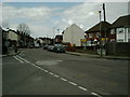
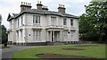
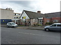
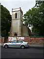
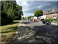
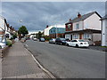
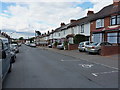

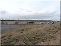
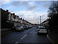
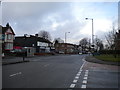
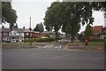
26 photos from this area
Area Information
Key information about the B8 2BH including its size, population, and administrative classification.
- Area Type
- Postcode
- Area Size
- 6422 m²
- Population
- 2115
- Population Density
- 3669 people/km²
House Prices in B8 2BH
31
Properties
£117,082
Average Sold Price
£27,500
Lowest Price
£249,950
Highest Price
Showing 31 properties
| Address | Type | Beds | Baths | Last Sale Price | Last Sale Date | |
|---|---|---|---|---|---|---|
| 29 St Margarets Avenue, Birmingham, B8 2BH | house | - | - | £125,000 | Oct 2019 | |
| 41 St Margarets Avenue, Birmingham, B8 2BH | Terraced | 3 | 1 | £130,000 | May 2018 | |
| 3 St Margarets Avenue, Birmingham, B8 2BH | Semi-detached | 3 | 1 | £155,000 | Jul 2017 | |
| THE VICARAGE, ST MARGARETS AVENUE, Birmingham, B8 2BH | Unknown | - | - | £249,950 | Jan 2016 | |
| 9 St Margarets Avenue, Birmingham, B8 2BH | house | - | - | £115,000 | Dec 2015 | |
| 1 St Margarets Avenue, Birmingham, B8 2BH | Semi-detached | 3 | 1 | £142,500 | Mar 2015 | |
| 27 St Margarets Avenue, Birmingham, B8 2BH | Semi-detached | 3 | 1 | £95,000 | May 2012 | |
| 5 St Margarets Avenue, Birmingham, B8 2BH | house | 3 | - | £126,000 | Oct 2011 | |
| 43 St Margarets Avenue, Birmingham, B8 2BH | house | 3 | - | £99,000 | Apr 2011 | |
| 23 St Margarets Avenue, Birmingham, B8 2BH | house | - | - | £115,000 | Nov 2008 |
Page 1 of 4
Energy Efficiency in B8 2BH
Amenities
Schools
| Rank | School | Type | Entry gender | Ages |
|---|
Explore more schools in this area
Go to Schools tabDemographics
Household Size
Family (3-5 people)
most common
Accommodation Type
Houses
most common
Tenure
39
majority
Ethnic Group
asian_total
most common
Religion
N/A
most common
Household Composition
N/A
most common
Age
22
median
Adults (30-64 years)
most common
Household Deprivation
N/A
with no deprivation
NS-SEC
11
in Lower managerial occupations
Explore more demographic insights in this area
Go to Demographics tabPlanning
Planning Constraints
- Flood RiskPremium
- Ramsar Wetland SitesPremium
- Area of Outstanding Natural BeautyPremium
- Protected Nature ReservePremium
- Protected WoodlandPremium