Area Overview for B8 2AP
Photos of B8 2AP
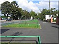
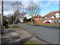
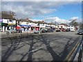
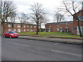
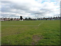
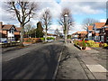
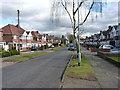
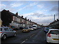
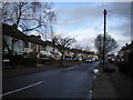
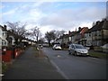
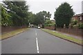

39 photos from this area
Area Information
Key information about the B8 2AP including its size, population, and administrative classification.
- Area Type
- Postcode
- Area Size
- 1.3 hectares
- Population
- 2161
- Population Density
- 5357 people/km²
House Prices in B8 2AP
29
Properties
£141,675
Average Sold Price
£37,000
Lowest Price
£360,000
Highest Price
Showing 29 properties
| Address | Type | Beds | Baths | Last Sale Price | Last Sale Date | |
|---|---|---|---|---|---|---|
| 83 Stechford Lane, Birmingham, B8 2AP | house | - | - | £150,000 | Dec 2024 | |
| 79 Stechford Lane, Birmingham, B8 2AP | Semi-detached | 5 | 2 | £360,000 | Mar 2024 | |
| 63 Stechford Lane, Birmingham, B8 2AP | Semi-detached | 3 | 1 | £252,000 | Apr 2023 | |
| 67 Stechford Lane, Birmingham, B8 2AP | Semi-detached | 3 | 1 | £185,000 | May 2020 | |
| 61 Stechford Lane, Birmingham, B8 2AP | house | - | - | £128,000 | Oct 2019 | |
| 97 Stechford Lane, Birmingham, B8 2AP | Detached | 3 | 1 | £165,000 | Oct 2019 | |
| 107 Stechford Lane, Birmingham, B8 2AP | Semi-detached | 3 | 1 | £165,000 | Sep 2019 | |
| 103 Stechford Lane, Birmingham, B8 2AP | Semi-detached | 3 | 1 | £150,000 | Jun 2018 | |
| 99 Stechford Lane, Birmingham, B8 2AP | Semi-detached | 3 | - | £127,000 | Dec 2016 | |
| 73 Stechford Lane, Birmingham, B8 2AP | house | - | - | £124,950 | Dec 2014 |
Page 1 of 3
Energy Efficiency in B8 2AP
Amenities
Schools
| Rank | School | Type | Entry gender | Ages |
|---|
Explore more schools in this area
Go to Schools tabDemographics
Household Size
Family (3-5 people)
most common
Accommodation Type
Houses
most common
Tenure
48
majority
Ethnic Group
asian_total
most common
Religion
N/A
most common
Household Composition
N/A
most common
Age
22
median
Adults (30-64 years)
most common
Household Deprivation
N/A
with no deprivation
NS-SEC
11
in Lower managerial occupations
Explore more demographic insights in this area
Go to Demographics tabPlanning
Planning Constraints
- Flood RiskPremium
- Ramsar Wetland SitesPremium
- Area of Outstanding Natural BeautyPremium
- Protected Nature ReservePremium
- Protected WoodlandPremium