Area Overview for B8 1HG
Photos of B8 1HG
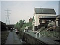
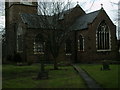
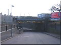
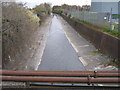
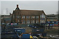
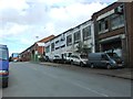
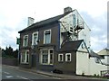
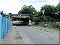
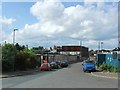
100 photos from this area
Area Information
Key information about the B8 1HG including its size, population, and administrative classification.
- Area Type
- Postcode
- Area Size
- 3496 m²
- Population
- 2777
- Population Density
- 13727 people/km²
House Prices in B8 1HG
19
Properties
£91,500
Average Sold Price
£42,000
Lowest Price
£140,000
Highest Price
Showing 19 properties
| Address | Type | Beds | Baths | Last Sale Price | Last Sale Date | |
|---|---|---|---|---|---|---|
| 172 St Saviours Road, Birmingham, B8 1HG | house | - | - | £140,000 | May 2022 | |
| 186 St Saviours Road, Birmingham, B8 1HG | Terraced | 3 | 1 | £126,000 | Aug 2018 | |
| 154 St Saviours Road, Birmingham, B8 1HG | house | - | - | £60,000 | Dec 2017 | |
| 166 St Saviours Road, Birmingham, B8 1HG | house | - | - | £97,000 | Dec 2006 | |
| 152 St Saviours Road, Birmingham, B8 1HG | house | - | - | £75,000 | Mar 2005 | |
| 168 St Saviours Road, Birmingham, B8 1HG | Terraced | - | - | £95,000 | Feb 2004 | |
| 160 St Saviours Road, Birmingham, B8 1HG | Terraced | - | - | £97,000 | Feb 2003 | |
| 184 St Saviours Road, Birmingham, B8 1HG | house | - | - | £42,000 | Nov 1995 | |
| 178 St Saviours Road, Birmingham, B8 1HG | Terraced | - | - | - | - | |
| 162 St Saviours Road, Birmingham, B8 1HG | house | - | - | - | - |
Page 1 of 2
Energy Efficiency in B8 1HG
Amenities
Schools
| Rank | School | Type | Entry gender | Ages |
|---|
Explore more schools in this area
Go to Schools tabDemographics
Household Size
Family (3-5 people)
most common
Accommodation Type
Houses
most common
Tenure
67
majority
Ethnic Group
asian_total
most common
Religion
N/A
most common
Household Composition
N/A
most common
Age
22
median
Adults (30-64 years)
most common
Household Deprivation
N/A
with no deprivation
NS-SEC
12
in Lower managerial occupations
Explore more demographic insights in this area
Go to Demographics tabPlanning
Planning Constraints
- Flood RiskPremium
- Ramsar Wetland SitesPremium
- Area of Outstanding Natural BeautyPremium
- Protected Nature ReservePremium
- Protected WoodlandPremium