Area Overview for B8 1HE
Photos of B8 1HE
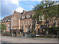
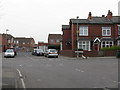
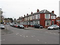
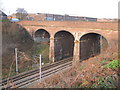
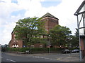
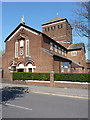
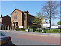
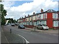
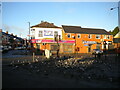
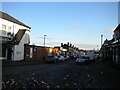
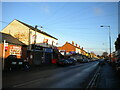
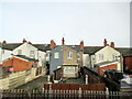
15 photos from this area
Area Information
Key information about the B8 1HE including its size, population, and administrative classification.
- Area Type
- Postcode
- Area Size
- 8883 m²
- Population
- 2777
- Population Density
- 13727 people/km²
House Prices in B8 1HE
28
Properties
£117,750
Average Sold Price
£40,000
Lowest Price
£180,000
Highest Price
Showing 28 properties
| Address | Type | Beds | Baths | Last Sale Price | Last Sale Date | |
|---|---|---|---|---|---|---|
| 64 Edmund Road, Birmingham, B8 1HE | Terraced | 3 | 1 | £172,000 | Feb 2021 | |
| 76 Edmund Road, Birmingham, B8 1HE | house | - | - | £140,000 | Jul 2015 | |
| 108 Edmund Road, Birmingham, B8 1HE | house | - | - | £70,000 | Oct 2010 | |
| 98 Edmund Road, Birmingham, B8 1HE | house | - | - | £100,000 | Mar 2008 | |
| 94 Edmund Road, Birmingham, B8 1HE | Terraced | 4 | 2 | £90,000 | Feb 2007 | |
| 62 Edmund Road, Birmingham, B8 1HE | house | - | - | £150,000 | Dec 2005 | |
| 70 Edmund Road, Birmingham, B8 1HE | Terraced | - | - | £180,000 | Dec 2005 | |
| 116 Edmund Road, Birmingham, B8 1HE | house | - | - | £40,000 | Jul 1997 | |
| 80 Edmund Road, Birmingham, B8 1HE | house | - | - | - | - | |
| 72 Edmund Road, Birmingham, B8 1HE | Terraced | - | - | - | - |
Page 1 of 3
Energy Efficiency in B8 1HE
Amenities
Schools
| Rank | School | Type | Entry gender | Ages |
|---|
Explore more schools in this area
Go to Schools tabDemographics
Household Size
Family (3-5 people)
most common
Accommodation Type
Houses
most common
Tenure
67
majority
Ethnic Group
asian_total
most common
Religion
N/A
most common
Household Composition
N/A
most common
Age
22
median
Adults (30-64 years)
most common
Household Deprivation
N/A
with no deprivation
NS-SEC
12
in Lower managerial occupations
Explore more demographic insights in this area
Go to Demographics tabPlanning
Planning Constraints
- Flood RiskPremium
- Ramsar Wetland SitesPremium
- Area of Outstanding Natural BeautyPremium
- Protected Nature ReservePremium
- Protected WoodlandPremium