Area Overview for B79 8EA
Photos of B79 8EA
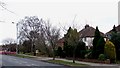
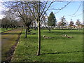
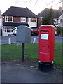
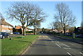
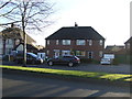
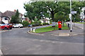
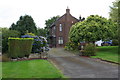
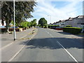
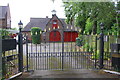
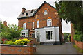
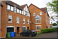
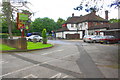
25 photos from this area
Area Information
Key information about the B79 8EA including its size, population, and administrative classification.
- Area Type
- Postcode
- Area Size
- 1.5 hectares
- Population
- 1558
- Population Density
- 6034 people/km²
House Prices in B79 8EA
34
Properties
£136,150
Average Sold Price
£49,000
Lowest Price
£240,000
Highest Price
Showing 34 properties
| Address | Type | Beds | Baths | Last Sale Price | Last Sale Date | |
|---|---|---|---|---|---|---|
| 21 Shelley Road, Tamworth, B79 8EA | house | - | - | £192,000 | May 2025 | |
| 32 Shelley Road, Tamworth, B79 8EA | house | 4 | 1 | £240,000 | Oct 2022 | |
| 1 Shelley Road, Tamworth, B79 8EA | Flat | 2 | 1 | £103,000 | Apr 2022 | |
| 18 Shelley Road, Tamworth, B79 8EA | house | - | - | £185,000 | Jan 2022 | |
| 26 Shelley Road, Tamworth, B79 8EA | Detached | 3 | 1 | £170,000 | Nov 2020 | |
| 19 Shelley Road, Tamworth, B79 8EA | house | - | - | £169,000 | Jul 2020 | |
| 14 Shelley Road, Tamworth, B79 8EA | Terraced | 3 | 1 | £150,000 | Jul 2020 | |
| 15 Shelley Road, Tamworth, B79 8EA | Semi-detached | 3 | 1 | £185,000 | Dec 2018 | |
| 28 Shelley Road, Tamworth, B79 8EA | house | 4 | - | £100,000 | Jul 2008 | |
| 24 Shelley Road, Tamworth, B79 8EA | Detached | - | - | £89,950 | Sep 2002 |
Page 1 of 4
Energy Efficiency in B79 8EA
Amenities
Schools
| Rank | School | Type | Entry gender | Ages |
|---|
Explore more schools in this area
Go to Schools tabDemographics
Household Size
Two person
most common
Accommodation Type
Houses
most common
Tenure
49
majority
Ethnic Group
White
most common
Religion
N/A
most common
Household Composition
N/A
most common
Age
47
median
Adults (30-64 years)
most common
Household Deprivation
N/A
with no deprivation
NS-SEC
23
in Lower managerial occupations
Explore more demographic insights in this area
Go to Demographics tabPlanning
Planning Constraints
- Flood RiskPremium
- Ramsar Wetland SitesPremium
- Area of Outstanding Natural BeautyPremium
- Protected Nature ReservePremium
- Protected WoodlandPremium