Area Overview for B79 8AD
Photos of B79 8AD
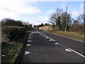
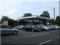
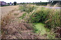
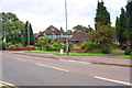
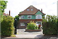
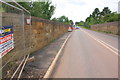
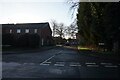
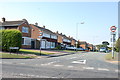
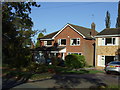
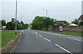
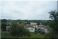

13 photos from this area
Area Information
Key information about the B79 8AD including its size, population, and administrative classification.
- Area Type
- Postcode
- Area Size
- 8421 m²
- Population
- 2488
- Population Density
- 735 people/km²
House Prices in B79 8AD
12
Properties
£316,238
Average Sold Price
£185,000
Lowest Price
£420,000
Highest Price
Showing 12 properties
| Address | Type | Beds | Baths | Last Sale Price | Last Sale Date | |
|---|---|---|---|---|---|---|
| Dorado, 54 Ashby Road, Tamworth, B79 8AD | Bungalow | 2 | - | £410,000 | Mar 2023 | |
| Conigre, 64 Ashby Road, Tamworth, B79 8AD | house | 4 | - | £420,000 | Mar 2012 | |
| Fairview, 62 Ashby Road, Tamworth, B79 8AD | Bungalow | - | - | £249,950 | Oct 2009 | |
| Lancaster, 48 Ashby Road, Tamworth, B79 8AD | Detached | - | - | £185,000 | Aug 2001 | |
| Glenavon, 56 Ashby Road, Tamworth, B79 8AD | Semi-detached | 3 | 1 | - | - | |
| Caravan, Hillbury, 66 Ashby Road, Tamworth, B79 8AD | Mobile Home | - | - | - | - | |
| 50 Ashby Road, Tamworth, B79 8AD | Detached | - | - | - | - | |
| Sundew, 58 Ashby Road, Tamworth, B79 8AD | Semi-detached | - | - | - | - | |
| Shellbourne, 68 Ashby Road, Tamworth, B79 8AD | house | - | - | - | - | |
| 60 Ashby Road, Tamworth, B79 8AD | Detached | - | - | - | - |
Page 1 of 2
Energy Efficiency in B79 8AD
Amenities
Schools
| Rank | School | Type | Entry gender | Ages |
|---|
Explore more schools in this area
Go to Schools tabDemographics
Household Size
Two person
most common
Accommodation Type
Houses
most common
Tenure
87
majority
Ethnic Group
White
most common
Religion
N/A
most common
Household Composition
N/A
most common
Age
47
median
Adults (30-64 years)
most common
Household Deprivation
N/A
with no deprivation
NS-SEC
38
in Lower managerial occupations
Explore more demographic insights in this area
Go to Demographics tabPlanning
Planning Constraints
- Flood RiskPremium
- Ramsar Wetland SitesPremium
- Area of Outstanding Natural BeautyPremium
- Protected Nature ReservePremium
- Protected WoodlandPremium