Area Overview for B79 7UU
Photos of B79 7UU
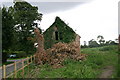
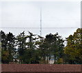
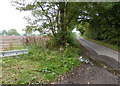
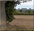
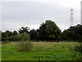
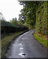
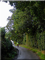
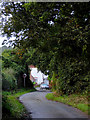
48 photos from this area
Area Information
Key information about the B79 7UU including its size, population, and administrative classification.
- Area Type
- Postcode
- Area Size
- 3.3 hectares
- Population
- 1362
- Population Density
- 2722 people/km²
House Prices in B79 7UU
72
Properties
£162,111
Average Sold Price
£7,150
Lowest Price
£450,000
Highest Price
Showing 72 properties
| Address | Type | Beds | Baths | Last Sale Price | Last Sale Date | |
|---|---|---|---|---|---|---|
| 63 Newstead, Tamworth, B79 7UU | Bungalow | 2 | 1 | £205,000 | Apr 2025 | |
| 61 Newstead, Tamworth, B79 7UU | Bungalow | 2 | 1 | £262,000 | Feb 2025 | |
| 36 Newstead, Tamworth, B79 7UU | Semi-detached | 3 | 1 | £260,000 | Sep 2024 | |
| 58 Newstead, Tamworth, B79 7UU | Semi-detached | 2 | 1 | £228,000 | Jun 2024 | |
| 53 Newstead, Tamworth, B79 7UU | Bungalow | 2 | 1 | £278,000 | Sep 2023 | |
| 69 Newstead, Tamworth, B79 7UU | house | - | - | £358,000 | Mar 2023 | |
| 8 Newstead, Tamworth, B79 7UU | Detached | 4 | 2 | £360,000 | Nov 2022 | |
| 44 Newstead, Tamworth, B79 7UU | Semi-detached | 1 | 1 | £7,150 | Nov 2022 | |
| 56 Newstead, Tamworth, B79 7UU | Retail | 2 | 1 | £186,000 | Sep 2022 | |
| 1 Newstead, Tamworth, B79 7UU | Detached | 1 | - | £450,000 | Sep 2022 |
Page 1 of 8
Energy Efficiency in B79 7UU
Amenities
Schools
| Rank | School | Type | Entry gender | Ages |
|---|
Explore more schools in this area
Go to Schools tabDemographics
Household Size
Two person
most common
Accommodation Type
Houses
most common
Tenure
93
majority
Ethnic Group
White
most common
Religion
N/A
most common
Household Composition
N/A
most common
Age
47
median
Adults (30-64 years)
most common
Household Deprivation
N/A
with no deprivation
NS-SEC
34
in Lower managerial occupations
Explore more demographic insights in this area
Go to Demographics tabPlanning
Planning Constraints
- Flood RiskPremium
- Ramsar Wetland SitesPremium
- Area of Outstanding Natural BeautyPremium
- Protected Nature ReservePremium
- Protected WoodlandPremium