Area Overview for B79 7DP
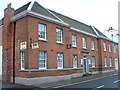
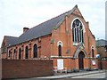
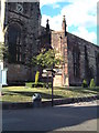
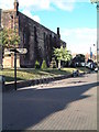
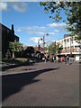
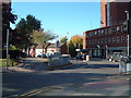
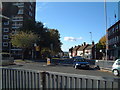
Photos of B79 7DP


Area Information
Living in B79 7DP means being part of a small, defined residential cluster in England with a population of 1,698. This postcode area reflects a mature community, with a median age of 47 and a majority of residents aged between 30 and 64. The area’s compact nature fosters a sense of familiarity, though its limited size means amenities and services are concentrated within a short reach. Daily life here is shaped by practical considerations, with a focus on accessibility to nearby towns and essential services. The presence of multiple railway stations and a bus interchange underscores its connectivity, while the low flood risk and absence of environmental constraints suggest a stable living environment. However, the area’s character is defined by its modest scale, where community interactions are likely to be frequent and personal. For those seeking a quiet, low-maintenance lifestyle, B79 7DP offers a straightforward, no-frills setting. Its appeal lies in its simplicity, though buyers should consider the broader regional context for long-term growth potential.
- Area Type
- Postcode
- Area Size
- Not available
- Population
- 1698
- Population Density
- 2051 people/km²
The property market in B79 7DP is characterised by a low home ownership rate of 24%, suggesting that the area is primarily a rental market rather than one dominated by owner-occupied homes. The accommodation type is predominantly flats, which is typical for smaller, densely populated residential clusters. This configuration limits the availability of larger, detached properties, making the area more suited to individuals or couples seeking compact living spaces. For buyers, the small scale of the postcode means the housing stock is limited, with few opportunities for long-term investment in private residences. The focus on flats may also indicate a reliance on shared amenities and communal spaces, which could be a consideration for those prioritising privacy or home ownership. Given the area’s size, prospective buyers should look beyond B79 7DP to nearby postcodes for a broader range of property options.
House Prices in B79 7DP
No properties found in this postcode.
Energy Efficiency in B79 7DP
The lifestyle in B79 7DP is shaped by its proximity to essential amenities, including five retail outlets such as Tamworth Co-operative Society Co, Farmfoods Leyfields, and Spar. These provide access to groceries and everyday necessities without requiring long journeys. The area’s transport links, including the Victoria Road Bus Interchange and multiple railway stations, enhance its appeal for commuters. However, the absence of parks, leisure facilities, or cultural venues within the postcode means residents may need to travel to nearby towns for recreational activities. The retail options suggest a focus on convenience over variety, catering to basic needs rather than offering a wide range of shopping experiences. For those prioritising practicality, the area’s amenities are sufficient, but those seeking a more vibrant lifestyle may need to look beyond B79 7DP.
Amenities
Schools
The schools near B79 7DP include Tamworth Centre, which is categorised as an ‘other’ school, and Mortimer House School, a special school with an Ofsted rating of ‘good’. The presence of a special school suggests that the area may cater to families with children requiring tailored educational support. Tamworth Centre, while not specified further, likely serves as a supplementary or community-based educational resource. For families, the mix of school types provides options for both mainstream and specialised education. However, the absence of primary or secondary schools in the data means that parents may need to consider commuting to nearby towns for broader educational needs. The ‘good’ rating at Mortimer House School indicates a reliable standard of care, though the overall school landscape in the immediate area remains limited.
| Rank | School | Type | Entry gender | Ages |
|---|
Explore more schools in this area
Go to Schools tabDemographics
The community in B79 7DP is predominantly composed of adults aged 30 to 64, with a median age of 47. This suggests a population skewed towards middle-aged individuals, many of whom may be in their peak working years or nearing retirement. Home ownership is relatively low at 24%, indicating that the majority of residents rent their homes. The accommodation type is primarily flats, which aligns with the area’s compact layout and limited land availability. The predominant ethnic group is White, though specific data on diversity or deprivation is not provided. The low home ownership rate may reflect a rental market dominated by private landlords or local housing associations. For quality of life, this demographic profile implies a stable, mature population with established routines, though the absence of detailed socioeconomic data means broader implications for community dynamics remain unclear.
Household Size
Accommodation Type
Tenure
Ethnic Group
Religion
Household Composition
Age
Household Deprivation
NS-SEC
Explore more demographic insights in this area
Go to Demographics tabPlanning
Planning Constraints
- Flood RiskPremium
- Ramsar Wetland SitesPremium
- Area of Outstanding Natural BeautyPremium
- Protected Nature ReservePremium
- Protected WoodlandPremium