Area Overview for B79 7AU
Photos of B79 7AU
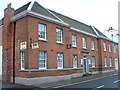
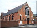
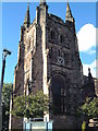
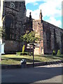
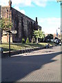
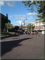
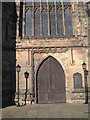
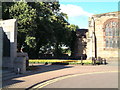
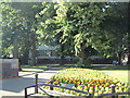
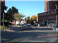

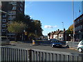
100 photos from this area
Area Information
Key information about the B79 7AU including its size, population, and administrative classification.
- Area Type
- Postcode
- Area Size
- 1818 m²
- Population
- 1698
- Population Density
- 2051 people/km²
House Prices in B79 7AU
11
Properties
£156,571
Average Sold Price
£125,000
Lowest Price
£195,000
Highest Price
Showing 11 properties
| Address | Type | Beds | Baths | Last Sale Price | Last Sale Date | |
|---|---|---|---|---|---|---|
| 22 Church Lane, Tamworth, B79 7AU | house | - | - | £155,000 | Sep 2022 | |
| 23 Church Lane, Tamworth, B79 7AU | Terraced | 3 | 1 | £155,000 | Sep 2022 | |
| 25 Church Lane, Tamworth, B79 7AU | house | 3 | 1 | £195,000 | Sep 2020 | |
| 27 Church Lane, Tamworth, B79 7AU | Terraced | 4 | 1 | £125,000 | Mar 2017 | |
| 31 Church Lane, Tamworth, B79 7AU | Terraced | 4 | - | £165,000 | Jul 2011 | |
| 24 Church Lane, Tamworth, B79 7AU | Terraced | 4 | 2 | £150,000 | Sep 2005 | |
| 30 Church Lane, Tamworth, B79 7AU | Terraced | 3 | - | £151,000 | Sep 2004 | |
| 26 Church Lane, Tamworth, B79 7AU | Terraced | 2 | 1 | - | - | |
| 21 Church Lane, Tamworth, B79 7AU | Terraced | 3 | 1 | - | - | |
| 29 Church Lane, Tamworth, B79 7AU | house | - | - | - | - |
Page 1 of 2
Energy Efficiency in B79 7AU
Amenities
Schools
| Rank | School | Type | Entry gender | Ages |
|---|
Explore more schools in this area
Go to Schools tabDemographics
Household Size
One person
most common
Accommodation Type
Flats
most common
Tenure
24
majority
Ethnic Group
White
most common
Religion
N/A
most common
Household Composition
N/A
most common
Age
47
median
Adults (30-64 years)
most common
Household Deprivation
N/A
with no deprivation
NS-SEC
16
in Lower managerial occupations
Explore more demographic insights in this area
Go to Demographics tabPlanning
Planning Constraints
- Flood RiskPremium
- Ramsar Wetland SitesPremium
- Area of Outstanding Natural BeautyPremium
- Protected Nature ReservePremium
- Protected WoodlandPremium