Area Overview for B79 0EA
Photos of B79 0EA
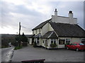
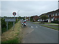
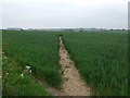
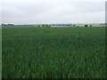
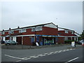
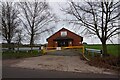
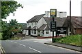
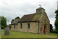
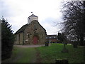
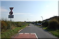
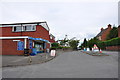
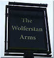
13 photos from this area
Area Information
Key information about the B79 0EA including its size, population, and administrative classification.
- Area Type
- Postcode
- Area Size
- 1.2 hectares
- Population
- 1975
- Population Density
- 144 people/km²
House Prices in B79 0EA
24
Properties
£150,489
Average Sold Price
£40,000
Lowest Price
£245,000
Highest Price
Showing 24 properties
| Address | Type | Beds | Baths | Last Sale Price | Last Sale Date | |
|---|---|---|---|---|---|---|
| 20 Coronation Crescent, Shuttington, B79 0EA | Semi-detached | 3 | 1 | £245,000 | Oct 2022 | |
| 7 Coronation Crescent, Shuttington, B79 0EA | Semi-detached | 3 | 1 | £202,000 | Nov 2018 | |
| 4 Coronation Crescent, Shuttington, B79 0EA | house | - | - | £194,000 | Jun 2015 | |
| 28 Coronation Crescent, Shuttington, B79 0EA | Semi-detached | 4 | - | £167,000 | Jun 2014 | |
| 9 Coronation Crescent, Shuttington, B79 0EA | Detached | 4 | 1 | £177,950 | Jun 2004 | |
| 14 Coronation Crescent, Shuttington, B79 0EA | Semi-detached | - | - | £136,500 | Sep 2003 | |
| 30 Coronation Crescent, Shuttington, B79 0EA | Terraced | - | - | £42,000 | Sep 2002 | |
| Church View, Coronation Crescent, Shuttington, B79 0EA | Detached | - | - | £149,950 | Jan 2001 | |
| 1 Coronation Crescent, Shuttington, B79 0EA | house | - | - | £40,000 | May 1996 | |
| 10 Coronation Crescent, Shuttington, B79 0EA | house | - | - | - | - |
Page 1 of 3
Energy Efficiency in B79 0EA
Amenities
Schools
| Rank | School | Type | Entry gender | Ages |
|---|
Explore more schools in this area
Go to Schools tabDemographics
Household Size
Two person
most common
Accommodation Type
Houses
most common
Tenure
80
majority
Ethnic Group
White
most common
Religion
N/A
most common
Household Composition
N/A
most common
Age
47
median
Adults (30-64 years)
most common
Household Deprivation
N/A
with no deprivation
NS-SEC
31
in Lower managerial occupations
Explore more demographic insights in this area
Go to Demographics tabPlanning
Planning Constraints
- Flood RiskPremium
- Ramsar Wetland SitesPremium
- Area of Outstanding Natural BeautyPremium
- Protected Nature ReservePremium
- Protected WoodlandPremium