Area Overview for B78 3TG
Photos of B78 3TG
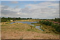
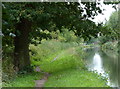
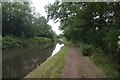
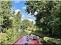
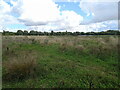
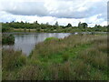
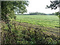
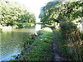
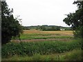
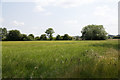
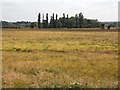

13 photos from this area
Area Information
Key information about the B78 3TG including its size, population, and administrative classification.
- Area Type
- Postcode
- Area Size
- 1.7 km²
- Population
- 2322
- Population Density
- 54 people/km²
House Prices in B78 3TG
40
Properties
£205,891
Average Sold Price
£74,000
Lowest Price
£385,000
Highest Price
Showing 40 properties
| Address | Type | Beds | Baths | Last Sale Price | Last Sale Date | |
|---|---|---|---|---|---|---|
| 6 Mayfair Drive, Fazeley, B78 3TG | Detached | 4 | 3 | £367,500 | Jul 2025 | |
| 20 Mayfair Drive, Fazeley, B78 3TG | Detached | 3 | 3 | £215,000 | Sep 2023 | |
| 31 Mayfair Drive, Fazeley, B78 3TG | Detached | 4 | 2 | £385,000 | Jul 2022 | |
| 41 Mayfair Drive, Fazeley, B78 3TG | house | 3 | - | £327,500 | Feb 2022 | |
| 15 Mayfair Drive, Fazeley, B78 3TG | house | - | - | £378,000 | Jul 2021 | |
| 17 Mayfair Drive, Fazeley, B78 3TG | Detached | 4 | 2 | £325,000 | Jun 2019 | |
| 47 Mayfair Drive, Fazeley, B78 3TG | house | - | - | £345,000 | Nov 2018 | |
| 10 Mayfair Drive, Fazeley, B78 3TG | Detached | 4 | - | £312,000 | Oct 2018 | |
| 16 Mayfair Drive, Fazeley, B78 3TG | Detached | 4 | 2 | £305,000 | Oct 2017 | |
| 22 Mayfair Drive, Fazeley, B78 3TG | house | - | - | £285,000 | Mar 2017 |
Page 1 of 4
Energy Efficiency in B78 3TG
Amenities
Schools
| Rank | School | Type | Entry gender | Ages |
|---|
Explore more schools in this area
Go to Schools tabDemographics
Household Size
Two person
most common
Accommodation Type
Houses
most common
Tenure
76
majority
Ethnic Group
White
most common
Religion
N/A
most common
Household Composition
N/A
most common
Age
47
median
Adults (30-64 years)
most common
Household Deprivation
N/A
with no deprivation
NS-SEC
30
in Lower managerial occupations
Explore more demographic insights in this area
Go to Demographics tabPlanning
Planning Constraints
- Flood RiskPremium
- Ramsar Wetland SitesPremium
- Area of Outstanding Natural BeautyPremium
- Protected Nature ReservePremium
- Protected WoodlandPremium