Area Overview for B77 5AS
Photos of B77 5AS


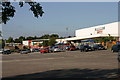
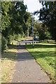
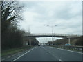

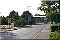
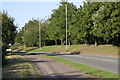
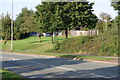
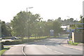

59 photos from this area
Area Information
Key information about the B77 5AS including its size, population, and administrative classification.
- Area Type
- Postcode
- Area Size
- 1.0 hectares
- Population
- 1627
- Population Density
- 4422 people/km²
House Prices in B77 5AS
28
Properties
£181,671
Average Sold Price
£56,685
Lowest Price
£340,000
Highest Price
Showing 28 properties
| Address | Type | Beds | Baths | Last Sale Price | Last Sale Date | |
|---|---|---|---|---|---|---|
| 12 Arran Drive, Wilnecote, Tamworth, B77 5AS | Terraced | 3 | 2 | £277,500 | Feb 2025 | |
| 2 Arran Drive, Wilnecote, Tamworth, B77 5AS | Detached | 3 | 2 | £280,000 | Nov 2024 | |
| 17 Arran Drive, Wilnecote, Tamworth, B77 5AS | house | 2 | 1 | £189,950 | May 2024 | |
| 11 Arran Drive, Wilnecote, Tamworth, B77 5AS | Terraced | 3 | 1 | £265,000 | Jan 2023 | |
| 16 Arran Drive, Wilnecote, Tamworth, B77 5AS | house | - | - | £178,500 | May 2021 | |
| 25 Arran Drive, Wilnecote, Tamworth, B77 5AS | Detached | 4 | 2 | £340,000 | Feb 2021 | |
| 26 Arran Drive, Wilnecote, Tamworth, B77 5AS | house | 3 | - | £261,000 | Jan 2020 | |
| 1 Arran Drive, Wilnecote, Tamworth, B77 5AS | Detached | 4 | 2 | £315,000 | Oct 2019 | |
| 14 Arran Drive, Wilnecote, Tamworth, B77 5AS | Terraced | 2 | 1 | £160,000 | Aug 2019 | |
| 18 Arran Drive, Wilnecote, Tamworth, B77 5AS | Terraced | 2 | 1 | £137,000 | Dec 2017 |
Page 1 of 3
Energy Efficiency in B77 5AS
Amenities
Schools
| Rank | School | Type | Entry gender | Ages |
|---|
Explore more schools in this area
Go to Schools tabDemographics
Household Size
Family (3-5 people)
most common
Accommodation Type
Houses
most common
Tenure
57
majority
Ethnic Group
White
most common
Religion
N/A
most common
Household Composition
N/A
most common
Age
47
median
Adults (30-64 years)
most common
Household Deprivation
N/A
with no deprivation
NS-SEC
22
in Lower managerial occupations
Explore more demographic insights in this area
Go to Demographics tabPlanning
Planning Constraints
- Flood RiskPremium
- Ramsar Wetland SitesPremium
- Area of Outstanding Natural BeautyPremium
- Protected Nature ReservePremium
- Protected WoodlandPremium