Area Overview for B77 1PT
Photos of B77 1PT
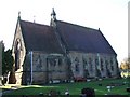
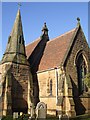

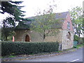
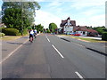
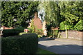
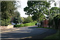
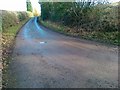
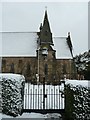
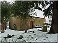
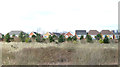
50 photos from this area
Area Information
Key information about the B77 1PT including its size, population, and administrative classification.
- Area Type
- Postcode
- Area Size
- 4145 m²
- Population
- 1293
- Population Density
- 1175 people/km²
House Prices in B77 1PT
8
Properties
£250,990
Average Sold Price
£88,000
Lowest Price
£349,950
Highest Price
Showing 8 properties
| Address | Type | Beds | Baths | Last Sale Price | Last Sale Date | |
|---|---|---|---|---|---|---|
| 5 St Pauls Court, Dosthill, Tamworth, B77 1PT | Cottage | 2 | 1 | £295,000 | May 2025 | |
| 3 St Pauls Court, Dosthill, Tamworth, B77 1PT | Detached | - | - | £340,000 | Mar 2008 | |
| 4 St Pauls Court, Dosthill, Tamworth, B77 1PT | Semi-detached | - | - | £182,000 | Jan 2008 | |
| 1 St Pauls Court, Dosthill, Tamworth, B77 1PT | Detached | - | - | £349,950 | Dec 2003 | |
| 6 St Pauls Court, Dosthill, Tamworth, B77 1PT | Detached | - | - | £88,000 | Mar 1998 | |
| 1A St Pauls Court, Dosthill, Tamworth, B77 1PT | Flat | - | - | - | - | |
| 2 St Pauls Court, Dosthill, Tamworth, B77 1PT | Detached | - | - | - | - | |
| Church Hall, Church Road, Dosthill, Tamworth, B77 1PT | commercial | - | - | - | - |
Energy Efficiency in B77 1PT
Amenities
Schools
| Rank | School | Type | Entry gender | Ages |
|---|
Explore more schools in this area
Go to Schools tabDemographics
Household Size
Family (3-5 people)
most common
Accommodation Type
Houses
most common
Tenure
92
majority
Ethnic Group
White
most common
Religion
N/A
most common
Household Composition
N/A
most common
Age
47
median
Adults (30-64 years)
most common
Household Deprivation
N/A
with no deprivation
NS-SEC
37
in Lower managerial occupations
Explore more demographic insights in this area
Go to Demographics tabPlanning
Planning Constraints
- Flood RiskPremium
- Ramsar Wetland SitesPremium
- Area of Outstanding Natural BeautyPremium
- Protected Nature ReservePremium
- Protected WoodlandPremium