Area Overview for B76 1SW
Photos of B76 1SW
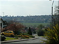
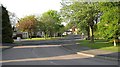
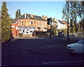
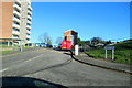
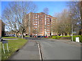
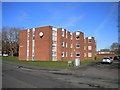
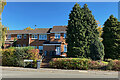
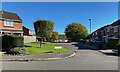
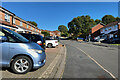
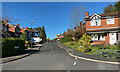
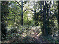
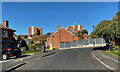
36 photos from this area
Area Information
Key information about the B76 1SW including its size, population, and administrative classification.
- Area Type
- Postcode
- Area Size
- 8961 m²
- Population
- 1718
- Population Density
- 2841 people/km²
House Prices in B76 1SW
15
Properties
£281,150
Average Sold Price
£116,500
Lowest Price
£495,000
Highest Price
Showing 15 properties
| Address | Type | Beds | Baths | Last Sale Price | Last Sale Date | |
|---|---|---|---|---|---|---|
| 6 Granary Lane, Sutton Coldfield, B76 1SW | house | 4 | 2 | £420,000 | Jan 2025 | |
| 3 Granary Lane, Sutton Coldfield, B76 1SW | Detached | 4 | 3 | £495,000 | Nov 2022 | |
| 9 Granary Lane, Sutton Coldfield, B76 1SW | house | - | - | £392,000 | Jan 2022 | |
| 5 Granary Lane, Sutton Coldfield, B76 1SW | house | - | - | £450,000 | Feb 2021 | |
| 8 Granary Lane, Sutton Coldfield, B76 1SW | Detached | 4 | 3 | £375,000 | Apr 2018 | |
| 12 Granary Lane, Sutton Coldfield, B76 1SW | house | 4 | - | £248,000 | Jan 2012 | |
| 2 Granary Lane, Sutton Coldfield, B76 1SW | house | - | - | £265,000 | Jul 2009 | |
| 1 Granary Lane, Sutton Coldfield, B76 1SW | Detached | 3 | - | £276,000 | Jun 2007 | |
| 19 Granary Lane, Sutton Coldfield, B76 1SW | Detached | - | - | £214,000 | Nov 2005 | |
| 17 Granary Lane, Sutton Coldfield, B76 1SW | Detached | - | - | £117,500 | May 1999 |
Page 1 of 2
Energy Efficiency in B76 1SW
Amenities
Schools
| Rank | School | Type | Entry gender | Ages |
|---|
Explore more schools in this area
Go to Schools tabDemographics
Household Size
Family (3-5 people)
most common
Accommodation Type
Houses
most common
Tenure
84
majority
Ethnic Group
White
most common
Religion
N/A
most common
Household Composition
N/A
most common
Age
47
median
Adults (30-64 years)
most common
Household Deprivation
N/A
with no deprivation
NS-SEC
50
in Lower managerial occupations
Explore more demographic insights in this area
Go to Demographics tabPlanning
Planning Constraints
- Flood RiskPremium
- Ramsar Wetland SitesPremium
- Area of Outstanding Natural BeautyPremium
- Protected Nature ReservePremium
- Protected WoodlandPremium