Area Overview for B76 1BL
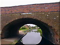
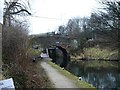
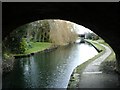
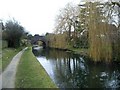
Photos of B76 1BL

Area Information
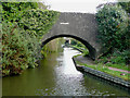
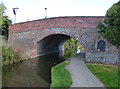
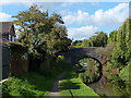
Living in B76 1BL means being part of a small, tightly knit residential cluster in England’s West Midlands. With a population of 1,476 and a density of 283 people per square kilometre, this postcode area reflects a quiet, low-rise community. Though modest in size, it sits within the broader Sutton Coldfield area, a historic royal town absorbed into Birmingham in 1974. The area’s character is shaped by its proximity to Sutton Park, a medieval deer park that remains a green lung for locals. Daily life here balances suburban convenience with historical roots, from 16th-century architecture to modern amenities. Residents benefit from proximity to retail hubs like Asda Minworth and Sainsburys Castle, while rail links to Water Orton and Erdington stations offer easy access to Birmingham and beyond. The area’s compact nature means a short walk or cycle can connect you to shops, schools, and transport, making it ideal for those seeking a manageable, community-focused lifestyle.
- Area Type
- Postcode
- Area Size
- Not available
- Population
- 1476
- Population Density
- 283 people/km²
B76 1BL is primarily an owner-occupied area, with 64% of homes owned by residents rather than rented. The accommodation type is predominantly houses, which aligns with the area’s suburban, low-density character. This suggests a market skewed towards family homes and long-term residency rather than short-term rentals or high-density housing. Given the postcode’s small size, the property stock is limited, making it a niche market for buyers seeking a quiet, established neighbourhood. The prevalence of houses may appeal to those prioritising space and privacy, though the lack of detailed price data means potential buyers must rely on local estate agents for current listings. The area’s proximity to rail links and retail hubs adds practical value, particularly for commuters or families.
House Prices in B76 1BL
No properties found in this postcode.
Energy Efficiency in B76 1BL
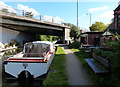
The lifestyle in B76 1BL is shaped by its proximity to retail, transport, and green spaces. Nearby shops include Asda Minworth, Sainsburys Castle, and Aldi Chester, offering everyday essentials within easy reach. Rail stations such as Water Orton and Erdington provide links to Birmingham’s transport network, while metro points like Birmingham International Airport cater to regional and national travel. The area’s low density means a walkable, car-light lifestyle is feasible, with parks and open spaces nearby for recreation. The presence of Sutton Park, a historic green space, adds value for outdoor enthusiasts. This mix of convenience and accessibility makes daily life practical and varied.
Amenities
Schools
The nearest school to B76 1BL is Minworth Junior and Infant School, a primary institution with a good Ofsted rating. This school serves the local community, offering education for younger children, but the area lacks secondary schools, meaning families may need to look beyond B76 1BL for high school options. The absence of secondary education within the postcode highlights a potential consideration for growing families. However, the quality of the primary school, combined with nearby transport links, could make the area appealing for those planning to access broader educational networks in surrounding towns.
| Rank | School | Type | Entry gender | Ages |
|---|
Explore more schools in this area
Go to Schools tabDemographics
The population of B76 1BL is predominantly adults aged 30–64, with a median age of 47. This suggests a mature, stable community with a strong presence of middle-aged households. Home ownership rates stand at 64%, indicating a mix of long-term residents and property investors. The area is characterised by houses rather than flats, reflecting a preference for traditional, family-oriented living. The predominant ethnic group is White, though the data does not specify further diversity metrics. The absence of detailed deprivation statistics means the area’s socioeconomic profile remains less defined, but the high home ownership rate and age distribution suggest a relatively settled population with established ties to the locality.
Household Size
Accommodation Type
Tenure
Ethnic Group
Religion
Household Composition
Age
Household Deprivation
NS-SEC
Explore more demographic insights in this area
Go to Demographics tabPlanning
Planning Constraints
- Flood RiskPremium
- Ramsar Wetland SitesPremium
- Area of Outstanding Natural BeautyPremium
- Protected Nature ReservePremium
- Protected WoodlandPremium