Area Overview for B75 6NQ
Photos of B75 6NQ
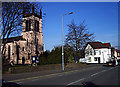

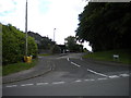
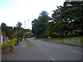
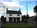
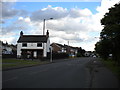
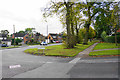

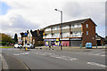

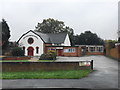

19 photos from this area
Area Information
Key information about the B75 6NQ including its size, population, and administrative classification.
- Area Type
- Postcode
- Area Size
- 8095 m²
- Population
- 1499
- Population Density
- 2372 people/km²
House Prices in B75 6NQ
12
Properties
£310,688
Average Sold Price
£130,000
Lowest Price
£510,000
Highest Price
Showing 12 properties
| Address | Type | Beds | Baths | Last Sale Price | Last Sale Date | |
|---|---|---|---|---|---|---|
| 98 Heath Croft Road, Sutton Coldfield, B75 6NQ | Bungalow | 3 | 2 | £510,000 | Aug 2024 | |
| 96 Heath Croft Road, Sutton Coldfield, B75 6NQ | Bungalow | - | - | £430,000 | Jun 2021 | |
| 92 Heath Croft Road, Sutton Coldfield, B75 6NQ | Bungalow | - | - | £495,000 | Oct 2018 | |
| 77 Heath Croft Road, Sutton Coldfield, B75 6NQ | Semi-detached | 4 | 2 | £200,000 | Mar 2016 | |
| 94 Heath Croft Road, Sutton Coldfield, B75 6NQ | Bungalow | 3 | - | £237,500 | Apr 2010 | |
| 69 Heath Croft Road, Sutton Coldfield, B75 6NQ | Detached | - | - | £270,000 | Sep 2006 | |
| 73 Heath Croft Road, Sutton Coldfield, B75 6NQ | Semi-detached | - | - | £213,000 | Apr 2006 | |
| 75 Heath Croft Road, Sutton Coldfield, B75 6NQ | Semi-detached | - | - | £130,000 | May 2001 | |
| 81 Heath Croft Road, Sutton Coldfield, B75 6NQ | Bungalow | - | - | - | - | |
| 79 Heath Croft Road, Sutton Coldfield, B75 6NQ | Detached | - | - | - | - |
Page 1 of 2
Energy Efficiency in B75 6NQ
Amenities
Schools
| Rank | School | Type | Entry gender | Ages |
|---|
Explore more schools in this area
Go to Schools tabDemographics
Household Size
Family (3-5 people)
most common
Accommodation Type
Houses
most common
Tenure
92
majority
Ethnic Group
White
most common
Religion
N/A
most common
Household Composition
N/A
most common
Age
47
median
Adults (30-64 years)
most common
Household Deprivation
N/A
with no deprivation
NS-SEC
53
in Lower managerial occupations
Explore more demographic insights in this area
Go to Demographics tabPlanning
Planning Constraints
- Flood RiskPremium
- Ramsar Wetland SitesPremium
- Area of Outstanding Natural BeautyPremium
- Protected Nature ReservePremium
- Protected WoodlandPremium