Area Overview for B75 5NN
Photos of B75 5NN
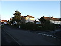
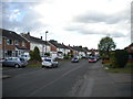
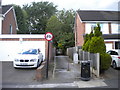
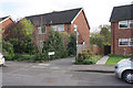
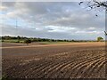
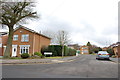
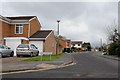
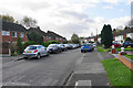
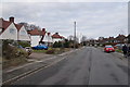
9 photos from this area
Area Information
Key information about the B75 5NN including its size, population, and administrative classification.
- Area Type
- Postcode
- Area Size
- 9839 m²
- Population
- 1702
- Population Density
- 5634 people/km²
House Prices in B75 5NN
22
Properties
£333,750
Average Sold Price
£83,995
Lowest Price
£480,000
Highest Price
Showing 22 properties
| Address | Type | Beds | Baths | Last Sale Price | Last Sale Date | |
|---|---|---|---|---|---|---|
| 63 Willmott Road, Sutton Coldfield, B75 5NN | Semi-detached | 3 | 2 | £415,000 | Dec 2025 | |
| 93 Willmott Road, Sutton Coldfield, B75 5NN | Semi-detached | 3 | 1 | £357,000 | Jul 2024 | |
| 73 Willmott Road, Sutton Coldfield, B75 5NN | Semi-detached | 3 | 1 | £397,500 | Aug 2023 | |
| 81 Willmott Road, Sutton Coldfield, B75 5NN | house | - | - | £365,000 | Jan 2023 | |
| 71 Willmott Road, Sutton Coldfield, B75 5NN | Retail | 4 | 2 | £480,000 | Nov 2022 | |
| 75 Willmott Road, Sutton Coldfield, B75 5NN | house | - | - | £395,000 | Aug 2022 | |
| 103 Willmott Road, Sutton Coldfield, B75 5NN | Detached | 4 | 1 | £425,000 | Dec 2021 | |
| 99 Willmott Road, Sutton Coldfield, B75 5NN | house | - | - | £320,000 | Jun 2021 | |
| 77 Willmott Road, Sutton Coldfield, B75 5NN | house | - | - | £405,500 | Feb 2021 | |
| 83 Willmott Road, Sutton Coldfield, B75 5NN | Semi-detached | 4 | 2 | £405,000 | Nov 2020 |
Page 1 of 3
Energy Efficiency in B75 5NN
Amenities
Schools
| Rank | School | Type | Entry gender | Ages |
|---|
Explore more schools in this area
Go to Schools tabDemographics
Household Size
Family (3-5 people)
most common
Accommodation Type
Houses
most common
Tenure
85
majority
Ethnic Group
White
most common
Religion
N/A
most common
Household Composition
N/A
most common
Age
47
median
Adults (30-64 years)
most common
Household Deprivation
N/A
with no deprivation
NS-SEC
46
in Lower managerial occupations
Explore more demographic insights in this area
Go to Demographics tabPlanning
Planning Constraints
- Flood RiskPremium
- Ramsar Wetland SitesPremium
- Area of Outstanding Natural BeautyPremium
- Protected Nature ReservePremium
- Protected WoodlandPremium