Area Overview for B74 4EL
Photos of B74 4EL
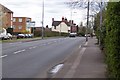
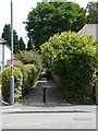
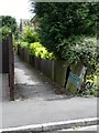
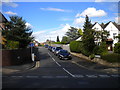
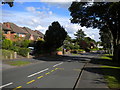
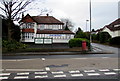
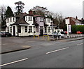
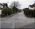

40 photos from this area
Area Information
Key information about the B74 4EL including its size, population, and administrative classification.
- Area Type
- Postcode
- Area Size
- 2.0 hectares
- Population
- 1749
- Population Density
- 2815 people/km²
House Prices in B74 4EL
30
Properties
£386,973
Average Sold Price
£118,250
Lowest Price
£644,950
Highest Price
Showing 30 properties
| Address | Type | Beds | Baths | Last Sale Price | Last Sale Date | |
|---|---|---|---|---|---|---|
| 494 Lichfield Road, Sutton Four Oaks, Sutton Coldfield, B74 4EL | Semi-detached | 5 | 2 | £605,000 | Jan 2025 | |
| 474 Lichfield Road, Sutton Four Oaks, Sutton Coldfield, B74 4EL | house | - | - | £475,000 | Mar 2024 | |
| 472 Lichfield Road, Sutton Four Oaks, Sutton Coldfield, B74 4EL | house | - | - | £575,000 | Jun 2023 | |
| 480 Lichfield Road, Sutton Four Oaks, Sutton Coldfield, B74 4EL | Bungalow | 3 | - | £360,000 | Nov 2020 | |
| 462 Lichfield Road, Sutton Four Oaks, Sutton Coldfield, B74 4EL | Semi-detached | 4 | 1 | £425,000 | Sep 2020 | |
| 460 Lichfield Road, Sutton Four Oaks, Sutton Coldfield, B74 4EL | Semi-detached | 4 | 1 | £435,000 | Apr 2019 | |
| 466 Lichfield Road, Sutton Four Oaks, Sutton Coldfield, B74 4EL | house | - | - | £590,000 | Sep 2018 | |
| 476 Lichfield Road, Sutton Four Oaks, Sutton Coldfield, B74 4EL | Detached | 3 | 1 | £644,950 | Jun 2018 | |
| 464 Lichfield Road, Sutton Four Oaks, Sutton Coldfield, B74 4EL | house | - | - | £364,000 | Jul 2016 | |
| 454 Lichfield Road, Sutton Four Oaks, Sutton Coldfield, B74 4EL | Detached | 6 | 4 | £597,000 | Sep 2015 |
Page 1 of 3
Energy Efficiency in B74 4EL
Amenities
Schools
| Rank | School | Type | Entry gender | Ages |
|---|
Explore more schools in this area
Go to Schools tabDemographics
Household Size
Family (3-5 people)
most common
Accommodation Type
Houses
most common
Tenure
90
majority
Ethnic Group
White
most common
Religion
N/A
most common
Household Composition
N/A
most common
Age
47
median
Adults (30-64 years)
most common
Household Deprivation
N/A
with no deprivation
NS-SEC
53
in Lower managerial occupations
Explore more demographic insights in this area
Go to Demographics tabPlanning
Planning Constraints
- Flood RiskPremium
- Ramsar Wetland SitesPremium
- Area of Outstanding Natural BeautyPremium
- Protected Nature ReservePremium
- Protected WoodlandPremium