Area Overview for B74 3RT
Photos of B74 3RT
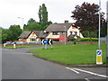
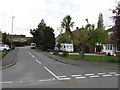
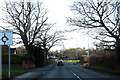
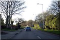
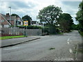
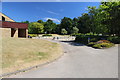
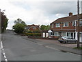
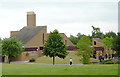
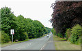
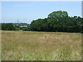
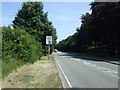
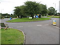
16 photos from this area
Area Information
Key information about the B74 3RT including its size, population, and administrative classification.
- Area Type
- Postcode
- Area Size
- 1.0 hectares
- Population
- 1425
- Population Density
- 2276 people/km²
House Prices in B74 3RT
33
Properties
£257,625
Average Sold Price
£118,000
Lowest Price
£415,000
Highest Price
Showing 33 properties
| Address | Type | Beds | Baths | Last Sale Price | Last Sale Date | |
|---|---|---|---|---|---|---|
| 32 Cherry Wood Road, Streetly, B74 3RT | Semi-detached | 3 | 1 | £365,000 | Jun 2025 | |
| 24 Cherry Wood Road, Streetly, B74 3RT | house | 3 | - | £317,500 | Jun 2025 | |
| 16 Cherry Wood Road, Streetly, B74 3RT | Semi-detached | 4 | 2 | £415,000 | Jan 2025 | |
| 4 Cherry Wood Road, Streetly, B74 3RT | house | - | - | £300,000 | Sep 2023 | |
| 6 Cherry Wood Road, Streetly, B74 3RT | house | 3 | - | £275,000 | Aug 2021 | |
| 8 Cherry Wood Road, Streetly, B74 3RT | Semi-detached | 3 | 1 | £270,000 | Nov 2019 | |
| 28 Cherry Wood Road, Streetly, B74 3RT | Semi-detached | 3 | 1 | £265,000 | Oct 2019 | |
| 31 Cherry Wood Road, Streetly, B74 3RT | Detached | 3 | 1 | £267,500 | Aug 2019 | |
| 2 Cherry Wood Road, Streetly, B74 3RT | Semi-detached | 3 | - | £329,995 | Nov 2018 | |
| 18 Cherry Wood Road, Streetly, B74 3RT | house | 4 | - | £262,500 | Jan 2016 |
Page 1 of 4
Energy Efficiency in B74 3RT
Amenities
Schools
| Rank | School | Type | Entry gender | Ages |
|---|
Explore more schools in this area
Go to Schools tabDemographics
Household Size
Family (3-5 people)
most common
Accommodation Type
Houses
most common
Tenure
92
majority
Ethnic Group
White
most common
Religion
N/A
most common
Household Composition
N/A
most common
Age
47
median
Adults (30-64 years)
most common
Household Deprivation
N/A
with no deprivation
NS-SEC
37
in Lower managerial occupations
Explore more demographic insights in this area
Go to Demographics tabPlanning
Planning Constraints
- Flood RiskPremium
- Ramsar Wetland SitesPremium
- Area of Outstanding Natural BeautyPremium
- Protected Nature ReservePremium
- Protected WoodlandPremium