Area Overview for B74 3RF
Photos of B74 3RF
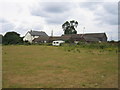
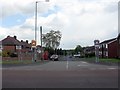
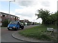
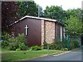
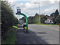
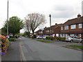
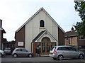
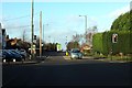
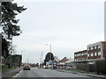
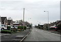
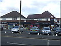
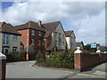
16 photos from this area
Area Information
Key information about the B74 3RF including its size, population, and administrative classification.
- Area Type
- Postcode
- Area Size
- 8545 m²
- Population
- 1425
- Population Density
- 2276 people/km²
House Prices in B74 3RF
27
Properties
£262,321
Average Sold Price
£78,000
Lowest Price
£377,500
Highest Price
Showing 27 properties
| Address | Type | Beds | Baths | Last Sale Price | Last Sale Date | |
|---|---|---|---|---|---|---|
| 101 Lowlands Avenue, Streetly, B74 3RF | house | 3 | - | £377,500 | Jun 2025 | |
| 109 Lowlands Avenue, Streetly, B74 3RF | Semi-detached | 3 | 1 | £312,500 | Nov 2023 | |
| 97 Lowlands Avenue, Streetly, B74 3RF | house | - | - | £350,000 | Sep 2022 | |
| 162 Lowlands Avenue, Streetly, B74 3RF | Semi-detached | 3 | 1 | £306,000 | Jul 2022 | |
| 93 Lowlands Avenue, Streetly, B74 3RF | Semi-detached | 3 | - | £331,500 | Jan 2022 | |
| 152 Lowlands Avenue, Streetly, B74 3RF | Semi-detached | 3 | 1 | £310,000 | Aug 2021 | |
| 95 Lowlands Avenue, Streetly, B74 3RF | house | 3 | - | £335,000 | Apr 2021 | |
| 150 Lowlands Avenue, Streetly, B74 3RF | house | - | - | £267,500 | Nov 2020 | |
| 136 Lowlands Avenue, Streetly, B74 3RF | Terraced | 3 | 1 | £240,000 | Dec 2019 | |
| 138 Lowlands Avenue, Streetly, B74 3RF | house | - | - | £230,000 | Jul 2019 |
Page 1 of 3
Energy Efficiency in B74 3RF
Amenities
Schools
| Rank | School | Type | Entry gender | Ages |
|---|
Explore more schools in this area
Go to Schools tabDemographics
Household Size
Family (3-5 people)
most common
Accommodation Type
Houses
most common
Tenure
92
majority
Ethnic Group
White
most common
Religion
N/A
most common
Household Composition
N/A
most common
Age
47
median
Adults (30-64 years)
most common
Household Deprivation
N/A
with no deprivation
NS-SEC
37
in Lower managerial occupations
Explore more demographic insights in this area
Go to Demographics tabPlanning
Planning Constraints
- Flood RiskPremium
- Ramsar Wetland SitesPremium
- Area of Outstanding Natural BeautyPremium
- Protected Nature ReservePremium
- Protected WoodlandPremium