Area Overview for B74 3NA
Photos of B74 3NA
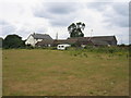
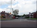
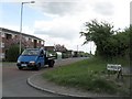
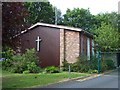
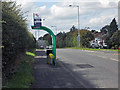
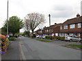
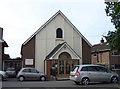
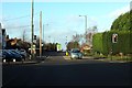
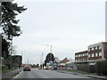
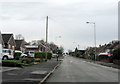
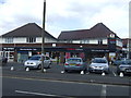
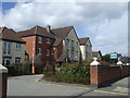
16 photos from this area
Area Information
Key information about the B74 3NA including its size, population, and administrative classification.
- Area Type
- Postcode
- Area Size
- 1.8 hectares
- Population
- 1601
- Population Density
- 3538 people/km²
House Prices in B74 3NA
22
Properties
£310,160
Average Sold Price
£73,000
Lowest Price
£481,250
Highest Price
Showing 22 properties
| Address | Type | Beds | Baths | Last Sale Price | Last Sale Date | |
|---|---|---|---|---|---|---|
| 210 Chester Road, Streetly, B74 3NA | house | - | - | £481,250 | Oct 2024 | |
| 204 Chester Road, Streetly, B74 3NA | Retail | 3 | 1 | £420,250 | Jun 2022 | |
| 200 Chester Road, Streetly, B74 3NA | Detached | 3 | 1 | £360,000 | Sep 2020 | |
| 202 Chester Road, Streetly, B74 3NA | Detached | 3 | - | £360,000 | Aug 2019 | |
| 208 Chester Road, Streetly, B74 3NA | house | - | - | £347,500 | Jun 2018 | |
| 206 Chester Road, Streetly, B74 3NA | Detached | 3 | 1 | £385,500 | Jun 2017 | |
| 226 Chester Road, Streetly, B74 3NA | house | - | - | £299,950 | Aug 2016 | |
| 224 Chester Road, Streetly, B74 3NA | house | - | - | £447,500 | Dec 2015 | |
| 232A Chester Road, Streetly, B74 3NA | house | - | - | £397,500 | Jun 2015 | |
| 212 Chester Road, Streetly, B74 3NA | house | - | - | £230,000 | Oct 2013 |
Page 1 of 3
Energy Efficiency in B74 3NA
Amenities
Schools
| Rank | School | Type | Entry gender | Ages |
|---|
Explore more schools in this area
Go to Schools tabDemographics
Household Size
One person
most common
Accommodation Type
Houses
most common
Tenure
92
majority
Ethnic Group
White
most common
Religion
N/A
most common
Household Composition
N/A
most common
Age
47
median
Adults (30-64 years)
most common
Household Deprivation
N/A
with no deprivation
NS-SEC
40
in Lower managerial occupations
Explore more demographic insights in this area
Go to Demographics tabPlanning
Planning Constraints
- Flood RiskPremium
- Ramsar Wetland SitesPremium
- Area of Outstanding Natural BeautyPremium
- Protected Nature ReservePremium
- Protected WoodlandPremium