Area Overview for B73 6BS
Photos of B73 6BS
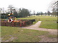
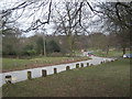
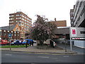

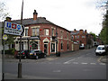

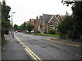

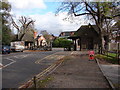


100 photos from this area
Area Information
Key information about the B73 6BS including its size, population, and administrative classification.
- Area Type
- Postcode
- Area Size
- 1.3 hectares
- Population
- 2157
- Population Density
- 2836 people/km²
House Prices in B73 6BS
50
Properties
£253,352
Average Sold Price
£58,500
Lowest Price
£395,000
Highest Price
Showing 50 properties
| Address | Type | Beds | Baths | Last Sale Price | Last Sale Date | |
|---|---|---|---|---|---|---|
| 30 Lyndon Road, Sutton Trinity, Sutton Coldfield, B73 6BS | Terraced | 2 | 1 | £327,000 | Aug 2025 | |
| 18 Lyndon Road, Sutton Trinity, Sutton Coldfield, B73 6BS | Terraced | 2 | 1 | £322,000 | Feb 2025 | |
| 28 Lyndon Road, Sutton Trinity, Sutton Coldfield, B73 6BS | Terraced | 2 | 1 | £395,000 | Dec 2024 | |
| 7 Lyndon Road, Sutton Trinity, Sutton Coldfield, B73 6BS | Terraced | 2 | 1 | £350,000 | Oct 2024 | |
| 24 Lyndon Road, Sutton Trinity, Sutton Coldfield, B73 6BS | Terraced | 2 | 1 | £365,000 | Aug 2024 | |
| 8 Lyndon Road, Sutton Trinity, Sutton Coldfield, B73 6BS | Terraced | 2 | 1 | £305,000 | Dec 2023 | |
| 50 Lyndon Road, Sutton Trinity, Sutton Coldfield, B73 6BS | Terraced | 2 | 1 | £305,000 | Oct 2023 | |
| 46 Lyndon Road, Sutton Trinity, Sutton Coldfield, B73 6BS | Terraced | 2 | 1 | £325,000 | Oct 2023 | |
| 35 Lyndon Road, Sutton Trinity, Sutton Coldfield, B73 6BS | Terraced | 2 | 1 | £356,970 | Oct 2023 | |
| 20 Lyndon Road, Sutton Trinity, Sutton Coldfield, B73 6BS | Terraced | 2 | - | £170,000 | Oct 2023 |
Page 1 of 5
Energy Efficiency in B73 6BS
Amenities
Schools
| Rank | School | Type | Entry gender | Ages |
|---|
Explore more schools in this area
Go to Schools tabDemographics
Household Size
One person
most common
Accommodation Type
Flats
most common
Tenure
55
majority
Ethnic Group
White
most common
Religion
N/A
most common
Household Composition
N/A
most common
Age
47
median
Adults (30-64 years)
most common
Household Deprivation
N/A
with no deprivation
NS-SEC
47
in Lower managerial occupations
Explore more demographic insights in this area
Go to Demographics tabPlanning
Planning Constraints
- Flood RiskPremium
- Ramsar Wetland SitesPremium
- Area of Outstanding Natural BeautyPremium
- Protected Nature ReservePremium
- Protected WoodlandPremium