Area Overview for B73 5EX
Photos of B73 5EX
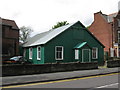
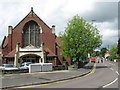
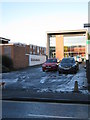
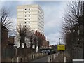
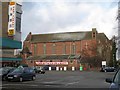
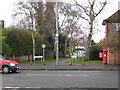

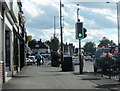
100 photos from this area
Area Information
Key information about the B73 5EX including its size, population, and administrative classification.
- Area Type
- Postcode
- Area Size
- 5400 m²
- Population
- 1583
- Population Density
- 4742 people/km²
House Prices in B73 5EX
25
Properties
£236,221
Average Sold Price
£86,000
Lowest Price
£475,000
Highest Price
Showing 25 properties
| Address | Type | Beds | Baths | Last Sale Price | Last Sale Date | |
|---|---|---|---|---|---|---|
| 377 Boldmere Road, Sutton Coldfield, B73 5EX | Terraced | 2 | 1 | £245,000 | Oct 2025 | |
| 385 Boldmere Road, Sutton Coldfield, B73 5EX | Terraced | 2 | 1 | £225,000 | Jun 2025 | |
| 387 Boldmere Road, Sutton Coldfield, B73 5EX | Terraced | 4 | 2 | £475,000 | May 2024 | |
| 391 Boldmere Road, Sutton Coldfield, B73 5EX | Terraced | 3 | 1 | £340,500 | Jan 2023 | |
| 395 Boldmere Road, Sutton Coldfield, B73 5EX | Retail | 3 | 1 | £345,000 | Aug 2022 | |
| 373 Boldmere Road, Sutton Coldfield, B73 5EX | house | 2 | 1 | £235,000 | Mar 2022 | |
| 401 Boldmere Road, Sutton Coldfield, B73 5EX | Terraced | 4 | 2 | £294,424 | Nov 2018 | |
| 399 Boldmere Road, Sutton Coldfield, B73 5EX | Terraced | 5 | 3 | £270,000 | Nov 2017 | |
| 383 Boldmere Road, Sutton Coldfield, B73 5EX | Terraced | 2 | 1 | £145,000 | Dec 2010 | |
| 379 Boldmere Road, Sutton Coldfield, B73 5EX | house | - | - | £122,000 | Jan 2009 |
Page 1 of 3
Energy Efficiency in B73 5EX
Amenities
Schools
| Rank | School | Type | Entry gender | Ages |
|---|
Explore more schools in this area
Go to Schools tabDemographics
Household Size
One person
most common
Accommodation Type
Houses
most common
Tenure
60
majority
Ethnic Group
White
most common
Religion
N/A
most common
Household Composition
N/A
most common
Age
47
median
Adults (30-64 years)
most common
Household Deprivation
N/A
with no deprivation
NS-SEC
41
in Lower managerial occupations
Explore more demographic insights in this area
Go to Demographics tabPlanning
Planning Constraints
- Flood RiskPremium
- Ramsar Wetland SitesPremium
- Area of Outstanding Natural BeautyPremium
- Protected Nature ReservePremium
- Protected WoodlandPremium