Area Overview for B73 5DX
Photos of B73 5DX
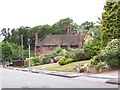
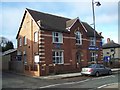
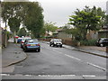
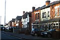
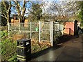
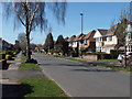
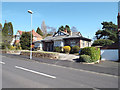
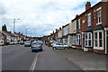
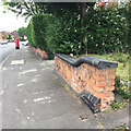
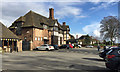
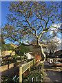
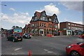
31 photos from this area
Area Information
Key information about the B73 5DX including its size, population, and administrative classification.
- Area Type
- Postcode
- Area Size
- 6315 m²
- Population
- 1565
- Population Density
- 4188 people/km²
House Prices in B73 5DX
14
Properties
£273,059
Average Sold Price
£74,950
Lowest Price
£425,000
Highest Price
Showing 14 properties
| Address | Type | Beds | Baths | Last Sale Price | Last Sale Date | |
|---|---|---|---|---|---|---|
| 9 Redacre Road, Sutton Coldfield, B73 5DX | Detached | 4 | 1 | £425,000 | Mar 2025 | |
| 10 Redacre Road, Sutton Coldfield, B73 5DX | house | - | - | £325,000 | Apr 2022 | |
| 2 Redacre Road, Sutton Coldfield, B73 5DX | Detached | 3 | - | £365,000 | Feb 2022 | |
| 14 Redacre Road, Sutton Coldfield, B73 5DX | Semi-detached | 3 | 1 | £303,000 | Oct 2018 | |
| 7 Redacre Road, Sutton Coldfield, B73 5DX | Semi-detached | 3 | 1 | £287,525 | May 2017 | |
| 3 Redacre Road, Sutton Coldfield, B73 5DX | Semi-detached | - | - | £195,000 | May 2007 | |
| 12 Redacre Road, Sutton Coldfield, B73 5DX | Semi-detached | - | - | £209,000 | Jul 2006 | |
| 5 Redacre Road, Sutton Coldfield, B73 5DX | Semi-detached | - | - | £74,950 | Jul 1998 | |
| 8 Redacre Road, Sutton Coldfield, B73 5DX | Detached | 3 | 1 | - | - | |
| Flat 2, 1A Redacre Road, Sutton Coldfield, B73 5DX | Maisonette | - | - | - | - |
Page 1 of 2
Energy Efficiency in B73 5DX
Amenities
Schools
| Rank | School | Type | Entry gender | Ages |
|---|
Explore more schools in this area
Go to Schools tabDemographics
Household Size
Family (3-5 people)
most common
Accommodation Type
Houses
most common
Tenure
76
majority
Ethnic Group
White
most common
Religion
N/A
most common
Household Composition
N/A
most common
Age
47
median
Adults (30-64 years)
most common
Household Deprivation
N/A
with no deprivation
NS-SEC
51
in Lower managerial occupations
Explore more demographic insights in this area
Go to Demographics tabPlanning
Planning Constraints
- Flood RiskPremium
- Ramsar Wetland SitesPremium
- Area of Outstanding Natural BeautyPremium
- Protected Nature ReservePremium
- Protected WoodlandPremium