Area Overview for B72 1LE
Photos of B72 1LE
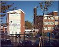
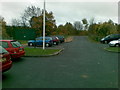
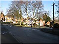
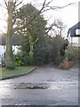


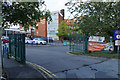
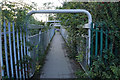
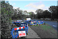
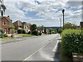

27 photos from this area
Area Information
Key information about the B72 1LE including its size, population, and administrative classification.
- Area Type
- Postcode
- Area Size
- 2.1 hectares
- Population
- 1819
- Population Density
- 3997 people/km²
House Prices in B72 1LE
22
Properties
£491,886
Average Sold Price
£169,500
Lowest Price
£885,000
Highest Price
Showing 22 properties
| Address | Type | Beds | Baths | Last Sale Price | Last Sale Date | |
|---|---|---|---|---|---|---|
| 5 St Bernards Road, Sutton Coldfield, B72 1LE | Detached | 4 | 2 | £755,000 | Jan 2025 | |
| 28 St Bernards Road, Sutton Coldfield, B72 1LE | Detached | 4 | - | £580,000 | Nov 2019 | |
| 1 St Bernards Road, Sutton Coldfield, B72 1LE | Detached | 5 | 3 | £885,000 | Oct 2018 | |
| 17 St Bernards Road, Sutton Coldfield, B72 1LE | Detached | 4 | - | £560,000 | Mar 2015 | |
| 14 St Bernards Road, Sutton Coldfield, B72 1LE | Detached | 4 | - | £479,950 | Oct 2013 | |
| 20 St Bernards Road, Sutton Coldfield, B72 1LE | house | 4 | - | £451,000 | Oct 2011 | |
| 26 St Bernards Road, Sutton Coldfield, B72 1LE | house | - | - | £430,000 | Jun 2010 | |
| 22 St Bernards Road, Sutton Coldfield, B72 1LE | Detached | - | - | £530,000 | Jun 2008 | |
| 12 St Bernards Road, Sutton Coldfield, B72 1LE | Detached | 5 | 4 | £635,000 | Apr 2007 | |
| 30 St Bernards Road, Sutton Coldfield, B72 1LE | Detached | - | - | £400,000 | Jun 2004 |
Page 1 of 3
Energy Efficiency in B72 1LE
Amenities
Schools
| Rank | School | Type | Entry gender | Ages |
|---|
Explore more schools in this area
Go to Schools tabDemographics
Household Size
Family (3-5 people)
most common
Accommodation Type
Houses
most common
Tenure
81
majority
Ethnic Group
White
most common
Religion
N/A
most common
Household Composition
N/A
most common
Age
47
median
Adults (30-64 years)
most common
Household Deprivation
N/A
with no deprivation
NS-SEC
50
in Lower managerial occupations
Explore more demographic insights in this area
Go to Demographics tabPlanning
Planning Constraints
- Flood RiskPremium
- Ramsar Wetland SitesPremium
- Area of Outstanding Natural BeautyPremium
- Protected Nature ReservePremium
- Protected WoodlandPremium