Area Overview for B72 1AD
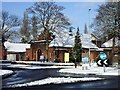
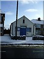
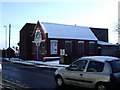
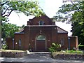
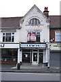
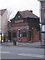
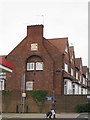
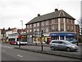
Photos of B72 1AD


Area Information
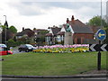
Living in B72 1AD means inhabiting a compact residential cluster in England’s West Midlands, where history and modernity intersect. With a population of 1,765, this area is small but distinct, centred around the former village of Erdington, which grew from a medieval settlement near the River Tame. The postcode encompasses parts of Six Ways and Wylde Green, areas that evolved into Birmingham suburbs in the 19th century. Daily life here is shaped by its proximity to Birmingham’s infrastructure, including rail links and retail hubs. The area’s character blends historic landmarks like Rookery Park with modern amenities such as Sainsburys Wylde and the Birmingham Fazeley Canal. Residents benefit from a mix of local schools, including both primary and specialist institutions, and a community rooted in the region’s long-standing heritage. While the population is modest, the area’s connectivity to Birmingham’s transport network and its low flood risk make it a practical choice for those seeking a balance between suburban tranquillity and urban accessibility.
- Area Type
- Postcode
- Area Size
- Not available
- Population
- 1765
- Population Density
- 5094 people/km²
The property market in B72 1AD is characterised by a high rate of home ownership (66%) and a predominance of houses, which is unusual for a small postcode area. This suggests a community where long-term residency is common, with fewer rental properties available. The focus on houses rather than flats or apartments may appeal to families seeking space and privacy, though the limited scale of the area means housing options are constrained. Buyers should consider that the market is likely competitive, with properties potentially holding value due to their scarcity. The proximity to Birmingham’s transport links and amenities may enhance desirability, but the small size of the postcode means buyers must look beyond immediate surroundings for broader housing choices. For those prioritising stability and family-friendly living, the existing stock offers a practical, though not expansive, selection.
House Prices in B72 1AD
No properties found in this postcode.
Energy Efficiency in B72 1AD
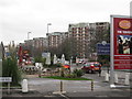
The lifestyle in B72 1AD is shaped by its proximity to a mix of retail, transport, and green spaces. Residents can access five retail outlets, including Tesco Erdington and Sainsburys Wylde Green, for everyday shopping. The area’s rail and metro stations, such as Chester Road and St Chads, provide easy access to Birmingham’s broader network, facilitating both work and leisure travel. Nearby parks and open spaces, like Rookery Park (former district offices) and Brookvale Park Lake (a former reservoir), offer recreational opportunities. The historical significance of the area, including sites like the Birmingham Fazeley Canal and the former Highcroft Hospital, adds cultural depth. This blend of practical amenities and green spaces supports a balanced lifestyle, with convenience for daily needs and access to nature for relaxation.
Amenities
Schools
Residents of B72 1AD have access to a range of educational institutions, including St Edmund Campion Catholic School & Sixth Form Centre, a primary school, and Inspirations Independent School, a specialist institution. A third school, St Edmund Campion Catholic School, is listed as an academy. This mix of school types provides options for families seeking both mainstream education and niche provision, such as special needs support. The presence of a sixth-form centre suggests the area caters to older students, potentially attracting families with children at different stages of their education. While the data does not include Ofsted ratings, the variety of school types indicates a deliberate effort to meet diverse educational needs. For parents, this diversity could be a key consideration when evaluating the area’s suitability for their children’s schooling.
| Rank | School | Type | Entry gender | Ages |
|---|
Explore more schools in this area
Go to Schools tabDemographics
The community in B72 1AD is predominantly composed of adults aged 30–64, with a median age of 47. This suggests a mature population, likely with established careers and family ties to the area. Home ownership is high at 66%, indicating a stable, long-term resident base rather than a transient rental market. The majority of properties are houses, reflecting a preference for single-family living. The predominant ethnic group is White, though the data does not specify further diversity metrics. With a population of 1,765, the area is small enough to foster a close-knit community but large enough to support essential services. The age profile and ownership rates suggest a focus on family-oriented living, with fewer young professionals or students compared to larger urban centres. This demographic profile aligns with the area’s historical role as a suburban extension of Birmingham, prioritising stability over rapid change.
Household Size
Accommodation Type
Tenure
Ethnic Group
Religion
Household Composition
Age
Household Deprivation
NS-SEC
Explore more demographic insights in this area
Go to Demographics tabPlanning
Planning Constraints
- Flood RiskPremium
- Ramsar Wetland SitesPremium
- Area of Outstanding Natural BeautyPremium
- Protected Nature ReservePremium
- Protected WoodlandPremium