Area Overview for B71 3BS
Photos of B71 3BS
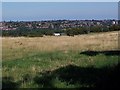
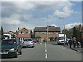
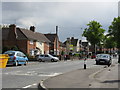
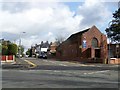
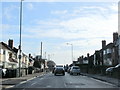
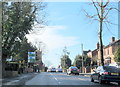
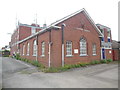
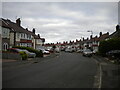
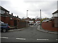
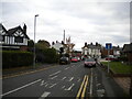
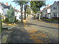
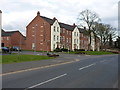
17 photos from this area
Area Information
Key information about the B71 3BS including its size, population, and administrative classification.
- Area Type
- Postcode
- Area Size
- 1.1 hectares
- Population
- 1812
- Population Density
- 5197 people/km²
House Prices in B71 3BS
17
Properties
£199,846
Average Sold Price
£60,000
Lowest Price
£575,000
Highest Price
Showing 17 properties
| Address | Type | Beds | Baths | Last Sale Price | Last Sale Date | |
|---|---|---|---|---|---|---|
| The Willows, 45 Hollyhedge Road, West Bromwich, B71 3BS | Detached | 4 | 2 | £575,000 | May 2024 | |
| 53 Hollyhedge Road, West Bromwich, B71 3BS | Semi-detached | 3 | 1 | £222,000 | Sep 2023 | |
| 61 Hollyhedge Road, West Bromwich, B71 3BS | Flat | - | - | £102,000 | Oct 2021 | |
| 79 Hollyhedge Road, West Bromwich, B71 3BS | house | 3 | - | £292,000 | Jul 2021 | |
| 55 Hollyhedge Road, West Bromwich, B71 3BS | Bungalow | - | - | £130,000 | Dec 2019 | |
| 51 Hollyhedge Road, West Bromwich, B71 3BS | Semi-detached | 3 | 1 | £163,000 | Mar 2018 | |
| 29 Hollyhedge Road, West Bromwich, B71 3BS | Detached | 4 | 3 | £360,000 | Oct 2017 | |
| 59 Hollyhedge Road, West Bromwich, B71 3BS | Flat | - | - | £95,000 | Aug 2017 | |
| 65 Hollyhedge Road, West Bromwich, B71 3BS | Maisonette | - | - | £96,000 | Jun 2017 | |
| 73 Hollyhedge Road, West Bromwich, B71 3BS | house | 3 | - | £170,000 | Aug 2013 |
Page 1 of 2
Energy Efficiency in B71 3BS
Amenities
Schools
| Rank | School | Type | Entry gender | Ages |
|---|
Explore more schools in this area
Go to Schools tabDemographics
Household Size
Family (3-5 people)
most common
Accommodation Type
Houses
most common
Tenure
76
majority
Ethnic Group
White
most common
Religion
N/A
most common
Household Composition
N/A
most common
Age
47
median
Adults (30-64 years)
most common
Household Deprivation
N/A
with no deprivation
NS-SEC
25
in Lower managerial occupations
Explore more demographic insights in this area
Go to Demographics tabPlanning
Planning Constraints
- Flood RiskPremium
- Ramsar Wetland SitesPremium
- Area of Outstanding Natural BeautyPremium
- Protected Nature ReservePremium
- Protected WoodlandPremium