Area Overview for B71 2SJ
Photos of B71 2SJ
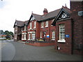
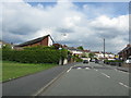
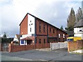
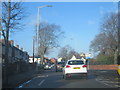
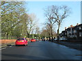

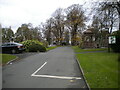
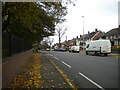
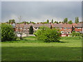
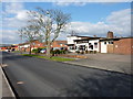
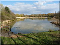
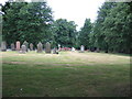
16 photos from this area
Area Information
Key information about the B71 2SJ including its size, population, and administrative classification.
- Area Type
- Postcode
- Area Size
- 1.8 hectares
- Population
- 2171
- Population Density
- 3974 people/km²
House Prices in B71 2SJ
48
Properties
£123,333
Average Sold Price
£38,000
Lowest Price
£222,500
Highest Price
Showing 48 properties
| Address | Type | Beds | Baths | Last Sale Price | Last Sale Date | |
|---|---|---|---|---|---|---|
| 31 Berkshire Close, West Bromwich, B71 2SJ | house | 3 | 1 | £220,000 | Jan 2025 | |
| 28 Berkshire Close, West Bromwich, B71 2SJ | Terraced | 3 | 1 | £222,500 | Feb 2024 | |
| 39 Berkshire Close, West Bromwich, B71 2SJ | Terraced | 3 | 1 | £120,000 | Jun 2022 | |
| 9 Berkshire Close, West Bromwich, B71 2SJ | Terraced | 3 | 1 | £150,000 | Jun 2022 | |
| 3 Berkshire Close, West Bromwich, B71 2SJ | house | - | - | £145,000 | May 2022 | |
| 1 Berkshire Close, West Bromwich, B71 2SJ | house | 3 | - | £186,000 | Feb 2022 | |
| 32 Berkshire Close, West Bromwich, B71 2SJ | house | - | - | £120,000 | Oct 2021 | |
| 13 Berkshire Close, West Bromwich, B71 2SJ | Terraced | 3 | 1 | £127,500 | Sep 2020 | |
| 7 Berkshire Close, West Bromwich, B71 2SJ | Terraced | 3 | 1 | £155,000 | Mar 2020 | |
| 5 Berkshire Close, West Bromwich, B71 2SJ | Terraced | 3 | - | £78,000 | May 2015 |
Page 1 of 5
Energy Efficiency in B71 2SJ
Amenities
Schools
| Rank | School | Type | Entry gender | Ages |
|---|
Explore more schools in this area
Go to Schools tabDemographics
Household Size
Family (3-5 people)
most common
Accommodation Type
Houses
most common
Tenure
48
majority
Ethnic Group
White
most common
Religion
N/A
most common
Household Composition
N/A
most common
Age
47
median
Adults (30-64 years)
most common
Household Deprivation
N/A
with no deprivation
NS-SEC
14
in Lower managerial occupations
Explore more demographic insights in this area
Go to Demographics tabPlanning
Planning Constraints
- Flood RiskPremium
- Ramsar Wetland SitesPremium
- Area of Outstanding Natural BeautyPremium
- Protected Nature ReservePremium
- Protected WoodlandPremium