Area Overview for B71 2RB
Photos of B71 2RB
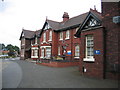
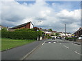
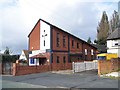
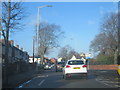
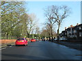

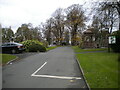
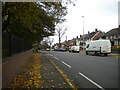
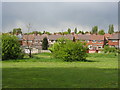
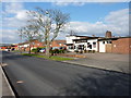
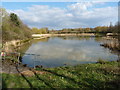
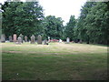
16 photos from this area
Area Information
Key information about the B71 2RB including its size, population, and administrative classification.
- Area Type
- Postcode
- Area Size
- 1.1 hectares
- Population
- 2171
- Population Density
- 3974 people/km²
House Prices in B71 2RB
34
Properties
£88,541
Average Sold Price
£37,000
Lowest Price
£200,000
Highest Price
Showing 34 properties
| Address | Type | Beds | Baths | Last Sale Price | Last Sale Date | |
|---|---|---|---|---|---|---|
| 11 Jowetts Lane, West Bromwich, B71 2RB | Semi-detached | 3 | 1 | £200,000 | Feb 2024 | |
| 1 Jowetts Lane, West Bromwich, B71 2RB | Semi-detached | 2 | 1 | £138,000 | Mar 2020 | |
| 47 Jowetts Lane, West Bromwich, B71 2RB | Semi-detached | 3 | 1 | £125,000 | Nov 2017 | |
| 43 Jowetts Lane, West Bromwich, B71 2RB | Semi-detached | 3 | 1 | £112,000 | Jul 2017 | |
| 3 Jowetts Lane, West Bromwich, B71 2RB | house | - | - | £73,500 | Apr 2012 | |
| 27 Jowetts Lane, West Bromwich, B71 2RB | house | - | - | £65,000 | Nov 2010 | |
| 49 Jowetts Lane, West Bromwich, B71 2RB | house | - | - | £90,000 | Sep 2008 | |
| 25 Jowetts Lane, West Bromwich, B71 2RB | house | - | - | £37,000 | Dec 2001 | |
| 63 Jowetts Lane, West Bromwich, B71 2RB | house | - | - | £46,950 | Oct 2001 | |
| 23 Jowetts Lane, West Bromwich, B71 2RB | Semi-detached | - | - | £40,500 | Oct 2001 |
Page 1 of 4
Energy Efficiency in B71 2RB
Amenities
Schools
| Rank | School | Type | Entry gender | Ages |
|---|
Explore more schools in this area
Go to Schools tabDemographics
Household Size
Family (3-5 people)
most common
Accommodation Type
Houses
most common
Tenure
48
majority
Ethnic Group
White
most common
Religion
N/A
most common
Household Composition
N/A
most common
Age
47
median
Adults (30-64 years)
most common
Household Deprivation
N/A
with no deprivation
NS-SEC
14
in Lower managerial occupations
Explore more demographic insights in this area
Go to Demographics tabPlanning
Planning Constraints
- Flood RiskPremium
- Ramsar Wetland SitesPremium
- Area of Outstanding Natural BeautyPremium
- Protected Nature ReservePremium
- Protected WoodlandPremium