Area Overview for B71 1JL
Photos of B71 1JL
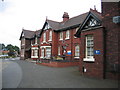
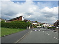
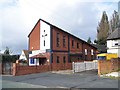
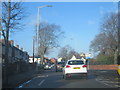
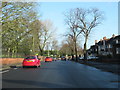

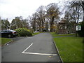
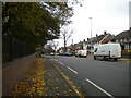
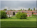
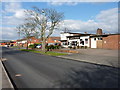
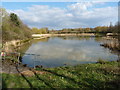
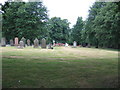
16 photos from this area
Area Information
Key information about the B71 1JL including its size, population, and administrative classification.
- Area Type
- Postcode
- Area Size
- 1.3 hectares
- Population
- 1801
- Population Density
- 5656 people/km²
House Prices in B71 1JL
26
Properties
£130,438
Average Sold Price
£75,000
Lowest Price
£230,000
Highest Price
Showing 26 properties
| Address | Type | Beds | Baths | Last Sale Price | Last Sale Date | |
|---|---|---|---|---|---|---|
| 2 Radnor Green, West Bromwich, B71 1JL | house | - | - | £230,000 | Aug 2024 | |
| 11 Radnor Green, West Bromwich, B71 1JL | house | 4 | 1 | £149,500 | Mar 2022 | |
| 24 Radnor Green, West Bromwich, B71 1JL | Semi-detached | 2 | 1 | £120,000 | Oct 2018 | |
| 4 Radnor Green, West Bromwich, B71 1JL | Semi-detached | 3 | - | £142,500 | Feb 2016 | |
| 18 Radnor Green, West Bromwich, B71 1JL | Semi-detached | 3 | - | £140,000 | Dec 2015 | |
| 22 Radnor Green, West Bromwich, B71 1JL | house | 2 | - | £75,000 | Dec 2013 | |
| 27 Radnor Green, West Bromwich, B71 1JL | house | - | - | £96,000 | Dec 2012 | |
| 5 Radnor Green, West Bromwich, B71 1JL | house | - | - | £90,500 | Jul 2011 | |
| 8 Radnor Green, West Bromwich, B71 1JL | Semi-detached | 3 | 1 | - | - | |
| 20 Radnor Green, West Bromwich, B71 1JL | house | - | - | - | - |
Page 1 of 3
Energy Efficiency in B71 1JL
Amenities
Schools
| Rank | School | Type | Entry gender | Ages |
|---|
Explore more schools in this area
Go to Schools tabDemographics
Household Size
Family (3-5 people)
most common
Accommodation Type
Houses
most common
Tenure
49
majority
Ethnic Group
White
most common
Religion
N/A
most common
Household Composition
N/A
most common
Age
47
median
Adults (30-64 years)
most common
Household Deprivation
N/A
with no deprivation
NS-SEC
16
in Lower managerial occupations
Explore more demographic insights in this area
Go to Demographics tabPlanning
Planning Constraints
- Flood RiskPremium
- Ramsar Wetland SitesPremium
- Area of Outstanding Natural BeautyPremium
- Protected Nature ReservePremium
- Protected WoodlandPremium