Area Overview for B71 1BU
Photos of B71 1BU
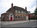
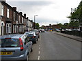
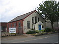
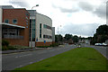
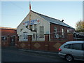
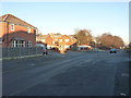
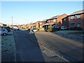
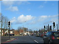
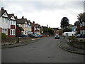
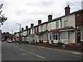
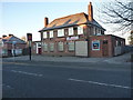
17 photos from this area
Area Information
Key information about the B71 1BU including its size, population, and administrative classification.
- Area Type
- Postcode
- Area Size
- 2564 m²
- Population
- 1953
- Population Density
- 5832 people/km²
House Prices in B71 1BU
10
Properties
£162,369
Average Sold Price
£116,950
Lowest Price
£201,000
Highest Price
Showing 10 properties
| Address | Type | Beds | Baths | Last Sale Price | Last Sale Date | |
|---|---|---|---|---|---|---|
| 111 Church Lane, West Bromwich, B71 1BU | Terraced | 3 | - | £201,000 | Aug 2021 | |
| 117 Church Lane, West Bromwich, B71 1BU | house | - | - | £163,500 | Sep 2005 | |
| 103 Church Lane, West Bromwich, B71 1BU | house | - | - | £180,450 | Sep 2005 | |
| 115 Church Lane, West Bromwich, B71 1BU | Flat | - | - | £116,950 | Jun 2005 | |
| 109 Church Lane, West Bromwich, B71 1BU | Terraced | - | - | £149,945 | Jun 2005 | |
| 113 Church Lane, West Bromwich, B71 1BU | Terraced | 3 | 2 | - | - | |
| 105 Church Lane, West Bromwich, B71 1BU | Semi-detached | 3 | 3 | - | - | |
| 119 Church Lane, West Bromwich, B71 1BU | Semi-detached | - | - | - | - | |
| 107 Church Lane, West Bromwich, B71 1BU | Terraced | - | - | - | - | |
| Flat, Queens Head, 101 Church Lane, West Bromwich, B71 1BU | Flat | - | - | - | - |
Energy Efficiency in B71 1BU
Amenities
Schools
| Rank | School | Type | Entry gender | Ages |
|---|
Explore more schools in this area
Go to Schools tabDemographics
Household Size
Family (3-5 people)
most common
Accommodation Type
Houses
most common
Tenure
40
majority
Ethnic Group
White
most common
Religion
N/A
most common
Household Composition
N/A
most common
Age
47
median
Adults (30-64 years)
most common
Household Deprivation
N/A
with no deprivation
NS-SEC
13
in Lower managerial occupations
Explore more demographic insights in this area
Go to Demographics tabPlanning
Planning Constraints
- Flood RiskPremium
- Ramsar Wetland SitesPremium
- Area of Outstanding Natural BeautyPremium
- Protected Nature ReservePremium
- Protected WoodlandPremium