Area Overview for B71 1AS
Photos of B71 1AS
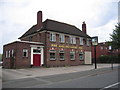
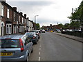
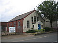
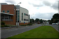

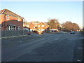
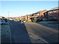
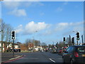
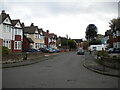
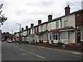
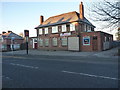
17 photos from this area
Area Information
Key information about the B71 1AS including its size, population, and administrative classification.
- Area Type
- Postcode
- Area Size
- 5499 m²
- Population
- 2358
- Population Density
- 4653 people/km²
House Prices in B71 1AS
12
Properties
£110,994
Average Sold Price
£32,000
Lowest Price
£232,000
Highest Price
Showing 12 properties
| Address | Type | Beds | Baths | Last Sale Price | Last Sale Date | |
|---|---|---|---|---|---|---|
| 68 Church Lane, West Bromwich, B71 1AS | house | - | - | £200,000 | Dec 2023 | |
| 82 Church Lane, West Bromwich, B71 1AS | Semi-detached | 3 | 2 | £232,000 | Feb 2022 | |
| 64 Church Lane, West Bromwich, B71 1AS | house | - | - | £70,000 | Apr 2010 | |
| 80 Church Lane, West Bromwich, B71 1AS | Semi-detached | - | - | £126,000 | May 2007 | |
| 76 Church Lane, West Bromwich, B71 1AS | Detached | - | - | £165,000 | Jan 2006 | |
| 74 Church Lane, West Bromwich, B71 1AS | house | - | - | £69,950 | Aug 2002 | |
| 84 Church Lane, West Bromwich, B71 1AS | Semi-detached | - | - | £62,000 | May 2001 | |
| 66 Church Lane, West Bromwich, B71 1AS | Semi-detached | - | - | £42,000 | Oct 1996 | |
| 72 Church Lane, West Bromwich, B71 1AS | house | - | - | £32,000 | Jul 1995 | |
| 78 Church Lane, West Bromwich, B71 1AS | Semi-detached | - | - | - | - |
Page 1 of 2
Energy Efficiency in B71 1AS
Amenities
Schools
| Rank | School | Type | Entry gender | Ages |
|---|
Explore more schools in this area
Go to Schools tabDemographics
Household Size
Family (3-5 people)
most common
Accommodation Type
Houses
most common
Tenure
44
majority
Ethnic Group
White
most common
Religion
N/A
most common
Household Composition
N/A
most common
Age
47
median
Adults (30-64 years)
most common
Household Deprivation
N/A
with no deprivation
NS-SEC
17
in Lower managerial occupations
Explore more demographic insights in this area
Go to Demographics tabPlanning
Planning Constraints
- Flood RiskPremium
- Ramsar Wetland SitesPremium
- Area of Outstanding Natural BeautyPremium
- Protected Nature ReservePremium
- Protected WoodlandPremium