Area Overview for B70 0SX
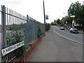
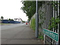
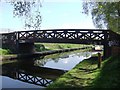
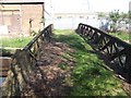
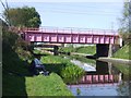
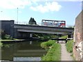
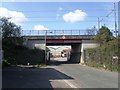
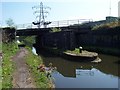
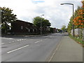
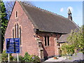
Photos of B70 0SX


Area Information
B70 0SX is a small residential postcode area in England’s West Midlands, nestled within the Sandwell borough. With a population of 2,094 and a density of 1,673 people per square kilometre, it is a tightly knit community centred around Wednesbury, a historic market town with roots tracing back to the 11th century. The area’s compact size means amenities and services are within easy reach, while its location near the coordinates 52.53184, -2.02456 places it in a region shaped by medieval trade and industrial history. Today, the area reflects a blend of traditional and modern living, with a median age of 47 and a majority of residents aged 30–64. The population is predominantly White, and the housing stock is largely composed of family homes. Daily life here is defined by proximity to schools, transport links, and the legacy of Wednesbury’s market charter granted in 1709. This is a place where history meets practicality, offering a grounded, community-focused lifestyle.
- Area Type
- Postcode
- Area Size
- Not available
- Population
- 2094
- Population Density
- 1673 people/km²
The property market in B70 0SX is defined by a 43% home ownership rate, indicating that more than half of properties are rented. This suggests a rental market with a significant proportion of tenants, possibly influenced by the area’s compact size and limited housing stock. The accommodation type is predominantly houses, which contrasts with areas dominated by flats or apartments. This housing mix may appeal to families seeking more space, though the small area size means buyers must consider proximity to surrounding zones for larger properties. The low population density combined with house-based housing implies a semi-detached or terraced style of living. For buyers, this means a focus on existing homes rather than new developments, with potential for long-term value if the area’s demand for rental properties persists. The market is not speculative but grounded in practical, family-oriented housing needs.
House Prices in B70 0SX
No properties found in this postcode.
Energy Efficiency in B70 0SX
The lifestyle in B70 0SX is shaped by its proximity to retail, transport, and historical sites. Within practical reach are five retail venues, including Co-op Hill and Morrisons Wednesbury, offering grocery and general shopping. Metro stops at Wednesbury Great Western Street and Black Lake provide local transport options, while rail stations like Dudley Port and Tipton connect to further destinations. The area’s historical roots as a market town are reflected in its accessibility to cultural and commercial hubs. Parks and leisure facilities are not explicitly listed, but the presence of multiple transport nodes suggests opportunities for outdoor activities nearby. The blend of practical amenities and historical context creates a lifestyle that balances convenience with a sense of place, ideal for those seeking a connected yet grounded community.
Amenities
Schools
The schools near B70 0SX include three primary institutions: Harvills Hawthorn Junior School, Harvills Hawthorn Infant and Nursery School, and Harvills Hawthorn Primary School, which holds an outstanding Ofsted rating. These schools cater to early education and primary years, providing a comprehensive network for families. The presence of both infant and junior schools suggests a focus on continuous education from early years through to primary level. The outstanding rating at Harvills Hawthorn Primary School is a notable advantage, indicating high-quality teaching and facilities. For parents, this cluster of schools offers convenience and a range of options, though secondary education is not listed in the data. The emphasis on primary schooling aligns with the area’s demographic of established families, reinforcing its appeal as a place to raise children.
| Rank | School | Type | Entry gender | Ages |
|---|
Explore more schools in this area
Go to Schools tabDemographics
The population of B70 0SX is predominantly adults aged 30–64, with a median age of 47. This suggests a community of established professionals and families, rather than a younger or elderly demographic. Home ownership sits at 43%, below the national average, indicating a mix of owner-occupied and rental properties. The area is characterised by houses rather than flats, reflecting a suburban or semi-rural housing pattern. The predominant ethnic group is White, though no specific diversity statistics are provided. The population density of 1,673 people per square kilometre implies a compact, possibly urbanised layout, though the exact land area is not specified. This density, combined with the age profile, suggests a stable, mature community with a focus on family living. The absence of detailed deprivation data means quality of life assessments must rely on the available figures, which point to a balanced but not overly diverse social fabric.
Household Size
Accommodation Type
Tenure
Ethnic Group
Religion
Household Composition
Age
Household Deprivation
NS-SEC
Explore more demographic insights in this area
Go to Demographics tabPlanning
Planning Constraints
- Flood RiskPremium
- Ramsar Wetland SitesPremium
- Area of Outstanding Natural BeautyPremium
- Protected Nature ReservePremium
- Protected WoodlandPremium