Area Overview for B69 4PY
Photos of B69 4PY
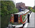
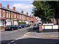
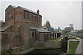
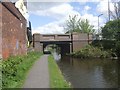
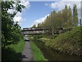
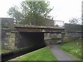
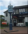
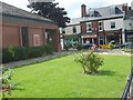

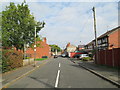
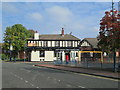
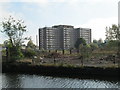
90 photos from this area
Area Information
Key information about the B69 4PY including its size, population, and administrative classification.
- Area Type
- Postcode
- Area Size
- 1.1 hectares
- Population
- 1529
- Population Density
- 3539 people/km²
House Prices in B69 4PY
37
Properties
£110,295
Average Sold Price
£38,000
Lowest Price
£200,000
Highest Price
Showing 37 properties
| Address | Type | Beds | Baths | Last Sale Price | Last Sale Date | |
|---|---|---|---|---|---|---|
| 39 Titford Road, Oldbury, B69 4PY | Terraced | 2 | 1 | £200,000 | May 2025 | |
| 31 Titford Road, Oldbury, B69 4PY | Terraced | 2 | 1 | £155,000 | Jul 2024 | |
| 21 Titford Road, Oldbury, B69 4PY | house | - | - | £80,000 | Jun 2023 | |
| 9 Titford Road, Oldbury, B69 4PY | Terraced | 2 | 1 | £177,000 | Oct 2022 | |
| 5 Titford Road, Oldbury, B69 4PY | Semi-detached | 3 | 1 | £139,000 | Mar 2021 | |
| 10 Titford Road, Oldbury, B69 4PY | house | - | - | £89,334 | Jan 2018 | |
| 15 Titford Road, Oldbury, B69 4PY | Terraced | 2 | - | £116,000 | Aug 2017 | |
| 17 Titford Road, Oldbury, B69 4PY | Terraced | 2 | 1 | £96,000 | Apr 2017 | |
| 3 Titford Road, Oldbury, B69 4PY | Semi-detached | 3 | - | £90,000 | Oct 2015 | |
| 19 Titford Road, Oldbury, B69 4PY | Terraced | 2 | 1 | £66,000 | Jul 2011 |
Page 1 of 4
Energy Efficiency in B69 4PY
Amenities
Schools
| Rank | School | Type | Entry gender | Ages |
|---|
Explore more schools in this area
Go to Schools tabDemographics
Household Size
One person
most common
Accommodation Type
Houses
most common
Tenure
36
majority
Ethnic Group
White
most common
Religion
N/A
most common
Household Composition
N/A
most common
Age
47
median
Adults (30-64 years)
most common
Household Deprivation
N/A
with no deprivation
NS-SEC
18
in Lower managerial occupations
Explore more demographic insights in this area
Go to Demographics tabPlanning
Planning Constraints
- Flood RiskPremium
- Ramsar Wetland SitesPremium
- Area of Outstanding Natural BeautyPremium
- Protected Nature ReservePremium
- Protected WoodlandPremium