Area Overview for B69 1SJ
Photos of B69 1SJ

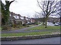
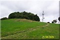

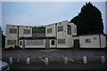
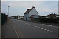
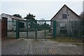
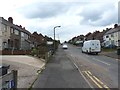
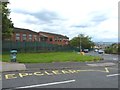
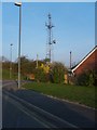
24 photos from this area
Area Information
Key information about the B69 1SJ including its size, population, and administrative classification.
- Area Type
- Postcode
- Area Size
- 8521 m²
- Population
- 1869
- Population Density
- 7253 people/km²
House Prices in B69 1SJ
28
Properties
£107,245
Average Sold Price
£35,000
Lowest Price
£191,000
Highest Price
Showing 28 properties
| Address | Type | Beds | Baths | Last Sale Price | Last Sale Date | |
|---|---|---|---|---|---|---|
| 109 Wheatsheaf Road, Tividale, Oldbury, B69 1SJ | Semi-detached | 3 | 1 | £191,000 | May 2024 | |
| 105 Wheatsheaf Road, Tividale, Oldbury, B69 1SJ | house | - | - | £125,000 | Sep 2023 | |
| 111 Wheatsheaf Road, Tividale, Oldbury, B69 1SJ | Terraced | 3 | 1 | £110,000 | Nov 2019 | |
| 117 Wheatsheaf Road, Tividale, Oldbury, B69 1SJ | house | 3 | 1 | £120,000 | Apr 2019 | |
| 97 Wheatsheaf Road, Tividale, Oldbury, B69 1SJ | Semi-detached | 2 | 1 | £134,950 | Feb 2019 | |
| 100 Wheatsheaf Road, Tividale, Oldbury, B69 1SJ | Semi-detached | 2 | - | £91,000 | Jun 2015 | |
| 113 Wheatsheaf Road, Tividale, Oldbury, B69 1SJ | house | 3 | - | £83,500 | Nov 2011 | |
| 119 Wheatsheaf Road, Tividale, Oldbury, B69 1SJ | house | - | - | £35,000 | Mar 2009 | |
| 86 Wheatsheaf Road, Tividale, Oldbury, B69 1SJ | house | - | - | £70,000 | Nov 2007 | |
| 99 Wheatsheaf Road, Tividale, Oldbury, B69 1SJ | Semi-detached | - | - | £112,000 | May 2007 |
Page 1 of 3
Energy Efficiency in B69 1SJ
Amenities
Schools
| Rank | School | Type | Entry gender | Ages |
|---|
Explore more schools in this area
Go to Schools tabDemographics
Household Size
Family (3-5 people)
most common
Accommodation Type
Houses
most common
Tenure
56
majority
Ethnic Group
White
most common
Religion
N/A
most common
Household Composition
N/A
most common
Age
47
median
Adults (30-64 years)
most common
Household Deprivation
N/A
with no deprivation
NS-SEC
20
in Lower managerial occupations
Explore more demographic insights in this area
Go to Demographics tabPlanning
Planning Constraints
- Flood RiskPremium
- Ramsar Wetland SitesPremium
- Area of Outstanding Natural BeautyPremium
- Protected Nature ReservePremium
- Protected WoodlandPremium