Area Overview for B69 1SE
Photos of B69 1SE
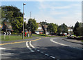
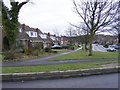
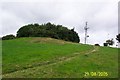
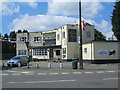
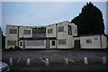
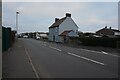
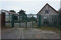
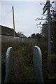
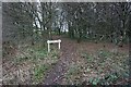
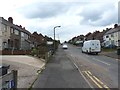
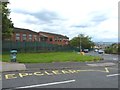
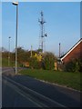
24 photos from this area
Area Information
Key information about the B69 1SE including its size, population, and administrative classification.
- Area Type
- Postcode
- Area Size
- 1.2 hectares
- Population
- 1222
- Population Density
- 2469 people/km²
House Prices in B69 1SE
25
Properties
£191,497
Average Sold Price
£60,000
Lowest Price
£375,000
Highest Price
Showing 25 properties
| Address | Type | Beds | Baths | Last Sale Price | Last Sale Date | |
|---|---|---|---|---|---|---|
| 33 Darbys Hill Road, Oldbury, B69 1SE | Detached | 4 | 1 | £270,000 | May 2025 | |
| 25 Darbys Hill Road, Oldbury, B69 1SE | Semi-detached | 3 | 1 | £302,000 | Mar 2025 | |
| 140 Darbys Hill Road, Oldbury, B69 1SE | Detached | 4 | 1 | £375,000 | Feb 2024 | |
| 134 Darbys Hill Road, Oldbury, B69 1SE | Detached | 4 | - | £265,000 | Aug 2017 | |
| 35 Darbys Hill Road, Oldbury, B69 1SE | house | 4 | - | £180,000 | Mar 2014 | |
| 5 Darbys Hill Road, Oldbury, B69 1SE | Bungalow | 2 | 1 | £175,000 | Dec 2010 | |
| 31 Darbys Hill Road, Oldbury, B69 1SE | house | 4 | - | £179,000 | Nov 2010 | |
| 37 Darbys Hill Road, Oldbury, B69 1SE | house | - | - | £213,000 | May 2010 | |
| 23 Darbys Hill Road, Oldbury, B69 1SE | house | - | - | £162,500 | Dec 2009 | |
| 15 Darbys Hill Road, Oldbury, B69 1SE | Detached | 3 | 1 | £120,000 | Mar 2008 |
Page 1 of 3
Energy Efficiency in B69 1SE
Amenities
Schools
| Rank | School | Type | Entry gender | Ages |
|---|
Explore more schools in this area
Go to Schools tabDemographics
Household Size
Two person
most common
Accommodation Type
Houses
most common
Tenure
92
majority
Ethnic Group
White
most common
Religion
N/A
most common
Household Composition
N/A
most common
Age
47
median
Adults (30-64 years)
most common
Household Deprivation
N/A
with no deprivation
NS-SEC
30
in Lower managerial occupations
Explore more demographic insights in this area
Go to Demographics tabPlanning
Planning Constraints
- Flood RiskPremium
- Ramsar Wetland SitesPremium
- Area of Outstanding Natural BeautyPremium
- Protected Nature ReservePremium
- Protected WoodlandPremium