Area Overview for B69 1HU
Photos of B69 1HU
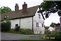
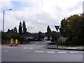
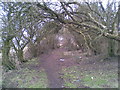
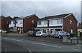
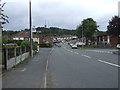
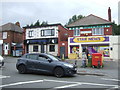
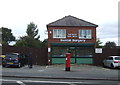
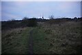
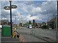
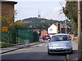

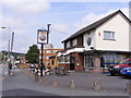
13 photos from this area
Area Information
Key information about the B69 1HU including its size, population, and administrative classification.
- Area Type
- Postcode
- Area Size
- 1.6 hectares
- Population
- 1990
- Population Density
- 6131 people/km²
House Prices in B69 1HU
49
Properties
£107,772
Average Sold Price
£24,570
Lowest Price
£197,000
Highest Price
Showing 49 properties
| Address | Type | Beds | Baths | Last Sale Price | Last Sale Date | |
|---|---|---|---|---|---|---|
| 162 Wallace Road, Oldbury, B69 1HU | Semi-detached | 3 | 2 | £190,000 | Feb 2025 | |
| 170 Wallace Road, Oldbury, B69 1HU | Semi-detached | 3 | 1 | £197,000 | Apr 2024 | |
| 156 Wallace Road, Oldbury, B69 1HU | Semi-detached | 3 | 2 | £160,000 | Oct 2022 | |
| 188 Wallace Road, Oldbury, B69 1HU | house | - | - | £138,200 | Sep 2021 | |
| 93 Wallace Road, Oldbury, B69 1HU | house | - | - | £88,000 | Aug 2016 | |
| 196 Wallace Road, Oldbury, B69 1HU | Semi-detached | 3 | 1 | £75,000 | Aug 2013 | |
| 164 Wallace Road, Oldbury, B69 1HU | house | 3 | - | £85,000 | Jun 2013 | |
| 154 Wallace Road, Oldbury, B69 1HU | Semi-detached | 3 | 1 | £88,000 | May 2006 | |
| 103 Wallace Road, Oldbury, B69 1HU | Semi-detached | - | - | £24,570 | Sep 1998 | |
| 97 Wallace Road, Oldbury, B69 1HU | Semi-detached | - | - | £31,950 | Aug 1996 |
Page 1 of 5
Energy Efficiency in B69 1HU
Amenities
Schools
| Rank | School | Type | Entry gender | Ages |
|---|
Explore more schools in this area
Go to Schools tabDemographics
Household Size
Family (3-5 people)
most common
Accommodation Type
Houses
most common
Tenure
36
majority
Ethnic Group
White
most common
Religion
N/A
most common
Household Composition
N/A
most common
Age
47
median
Adults (30-64 years)
most common
Household Deprivation
N/A
with no deprivation
NS-SEC
18
in Lower managerial occupations
Explore more demographic insights in this area
Go to Demographics tabPlanning
Planning Constraints
- Flood RiskPremium
- Ramsar Wetland SitesPremium
- Area of Outstanding Natural BeautyPremium
- Protected Nature ReservePremium
- Protected WoodlandPremium