Area Overview for B69 1AF
Photos of B69 1AF
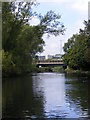
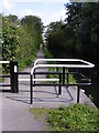
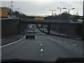
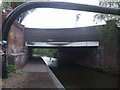
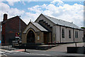
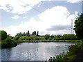
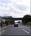
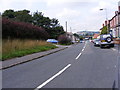
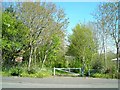
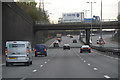
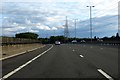
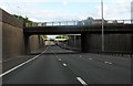
47 photos from this area
Area Information
Key information about the B69 1AF including its size, population, and administrative classification.
- Area Type
- Postcode
- Area Size
- 5615 m²
- Population
- 1870
- Population Density
- 4104 people/km²
House Prices in B69 1AF
16
Properties
£74,925
Average Sold Price
£33,000
Lowest Price
£153,000
Highest Price
Showing 16 properties
| Address | Type | Beds | Baths | Last Sale Price | Last Sale Date | |
|---|---|---|---|---|---|---|
| 442 Birchfield Lane, Oldbury, B69 1AF | Flat | 2 | 1 | £70,000 | Dec 2024 | |
| 434 Birchfield Lane, Oldbury, B69 1AF | Maisonette | 2 | 1 | £85,000 | Jun 2024 | |
| 418 Birchfield Lane, Oldbury, B69 1AF | Semi-detached | 3 | 1 | £130,000 | May 2024 | |
| 428 Birchfield Lane, Oldbury, B69 1AF | Flat | 2 | 1 | £65,000 | Sep 2020 | |
| 416 Birchfield Lane, Oldbury, B69 1AF | Semi-detached | 3 | 1 | £153,000 | Dec 2017 | |
| 430 Birchfield Lane, Oldbury, B69 1AF | Flat | - | - | £51,000 | Jul 2017 | |
| 422 Birchfield Lane, Oldbury, B69 1AF | Maisonette | 2 | - | £40,000 | May 2013 | |
| 420 Birchfield Lane, Oldbury, B69 1AF | Maisonette | - | - | £84,000 | Jan 2007 | |
| 436 Birchfield Lane, Oldbury, B69 1AF | Flat | - | - | £80,000 | Aug 2005 | |
| 440 Birchfield Lane, Oldbury, B69 1AF | Flat | - | - | £61,000 | Jul 2005 |
Page 1 of 2
Energy Efficiency in B69 1AF
Amenities
Schools
| Rank | School | Type | Entry gender | Ages |
|---|
Explore more schools in this area
Go to Schools tabDemographics
Household Size
One person
most common
Accommodation Type
Houses
most common
Tenure
43
majority
Ethnic Group
White
most common
Religion
N/A
most common
Household Composition
N/A
most common
Age
47
median
Adults (30-64 years)
most common
Household Deprivation
N/A
with no deprivation
NS-SEC
19
in Lower managerial occupations
Explore more demographic insights in this area
Go to Demographics tabPlanning
Planning Constraints
- Flood RiskPremium
- Ramsar Wetland SitesPremium
- Area of Outstanding Natural BeautyPremium
- Protected Nature ReservePremium
- Protected WoodlandPremium