Area Overview for B68 9SJ
Photos of B68 9SJ
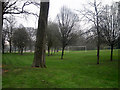
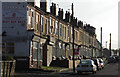
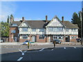
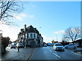
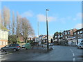
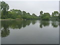
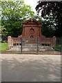
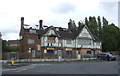
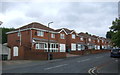
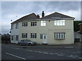
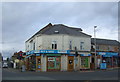
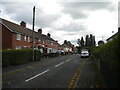
24 photos from this area
Area Information
Key information about the B68 9SJ including its size, population, and administrative classification.
- Area Type
- Postcode
- Area Size
- 1.1 hectares
- Population
- 2257
- Population Density
- 5620 people/km²
House Prices in B68 9SJ
18
Properties
£122,750
Average Sold Price
£43,500
Lowest Price
£215,000
Highest Price
Showing 18 properties
| Address | Type | Beds | Baths | Last Sale Price | Last Sale Date | |
|---|---|---|---|---|---|---|
| 49 Basons Lane, Oldbury, B68 9SJ | Semi-detached | 3 | 1 | £215,000 | Feb 2023 | |
| 47 Basons Lane, Oldbury, B68 9SJ | Semi-detached | 4 | 2 | £159,250 | Jul 2022 | |
| 68 Basons Lane, Oldbury, B68 9SJ | Semi-detached | 3 | 1 | £151,000 | Dec 2016 | |
| 33 Basons Lane, Oldbury, B68 9SJ | house | - | - | £163,000 | Aug 2006 | |
| 37 Basons Lane, Oldbury, B68 9SJ | Terraced | - | - | £112,500 | Jun 2005 | |
| 70 Basons Lane, Oldbury, B68 9SJ | house | - | - | £88,500 | Apr 2003 | |
| 76 Basons Lane, Oldbury, B68 9SJ | house | 3 | - | £85,000 | Jan 2003 | |
| 35 Basons Lane, Oldbury, B68 9SJ | Terraced | - | - | £87,000 | Dec 2002 | |
| 90 Basons Lane, Oldbury, B68 9SJ | house | - | - | £43,500 | Apr 2001 | |
| 72 Basons Lane, Oldbury, B68 9SJ | house | 4 | 2 | - | - |
Page 1 of 2
Energy Efficiency in B68 9SJ
Amenities
Schools
| Rank | School | Type | Entry gender | Ages |
|---|
Explore more schools in this area
Go to Schools tabDemographics
Household Size
Family (3-5 people)
most common
Accommodation Type
Houses
most common
Tenure
64
majority
Ethnic Group
asian_total
most common
Religion
N/A
most common
Household Composition
N/A
most common
Age
47
median
Adults (30-64 years)
most common
Household Deprivation
N/A
with no deprivation
NS-SEC
17
in Lower managerial occupations
Explore more demographic insights in this area
Go to Demographics tabPlanning
Planning Constraints
- Flood RiskPremium
- Ramsar Wetland SitesPremium
- Area of Outstanding Natural BeautyPremium
- Protected Nature ReservePremium
- Protected WoodlandPremium