Area Overview for B68 9DY
Photos of B68 9DY
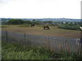
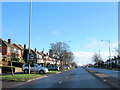
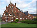
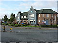
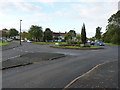
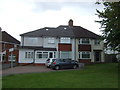
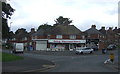
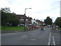
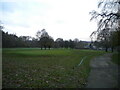
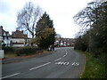
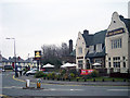
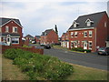
17 photos from this area
Area Information
Key information about the B68 9DY including its size, population, and administrative classification.
- Area Type
- Postcode
- Area Size
- 9972 m²
- Population
- 1705
- Population Density
- 4449 people/km²
House Prices in B68 9DY
33
Properties
£145,050
Average Sold Price
£20,000
Lowest Price
£200,000
Highest Price
Showing 33 properties
| Address | Type | Beds | Baths | Last Sale Price | Last Sale Date | |
|---|---|---|---|---|---|---|
| 130 Hill Top Road, Oldbury, B68 9DY | Semi-detached | 3 | 1 | £200,000 | Mar 2022 | |
| 120 Hill Top Road, Oldbury, B68 9DY | Semi-detached | 3 | 1 | £192,500 | Jan 2022 | |
| 118 Hill Top Road, Oldbury, B68 9DY | house | - | - | £135,000 | Aug 2020 | |
| 98 Hill Top Road, Oldbury, B68 9DY | Semi-detached | 3 | 1 | £156,000 | Sep 2019 | |
| 82 Hill Top Road, Oldbury, B68 9DY | Semi-detached | 3 | 1 | £197,000 | Feb 2018 | |
| 108 Hill Top Road, Oldbury, B68 9DY | house | 1 | 1 | £165,000 | Mar 2017 | |
| 92 Hill Top Road, Oldbury, B68 9DY | Semi-detached | 3 | 1 | £130,000 | Jan 2017 | |
| 80 Hill Top Road, Oldbury, B68 9DY | Semi-detached | 3 | 1 | £150,000 | Jul 2016 | |
| 90 Hill Top Road, Oldbury, B68 9DY | house | 3 | 1 | £105,000 | Oct 2015 | |
| 104 Hill Top Road, Oldbury, B68 9DY | Semi-detached | - | - | £20,000 | Aug 1998 |
Page 1 of 4
Energy Efficiency in B68 9DY
Amenities
Schools
| Rank | School | Type | Entry gender | Ages |
|---|
Explore more schools in this area
Go to Schools tabDemographics
Household Size
Family (3-5 people)
most common
Accommodation Type
Houses
most common
Tenure
73
majority
Ethnic Group
White
most common
Religion
N/A
most common
Household Composition
N/A
most common
Age
47
median
Adults (30-64 years)
most common
Household Deprivation
N/A
with no deprivation
NS-SEC
29
in Lower managerial occupations
Explore more demographic insights in this area
Go to Demographics tabPlanning
Planning Constraints
- Flood RiskPremium
- Ramsar Wetland SitesPremium
- Area of Outstanding Natural BeautyPremium
- Protected Nature ReservePremium
- Protected WoodlandPremium