Area Overview for B68 9AL
Photos of B68 9AL
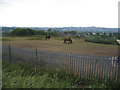
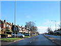
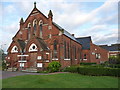
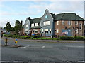
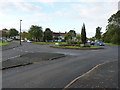
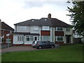
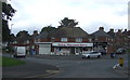
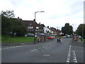
17 photos from this area
Area Information
Key information about the B68 9AL including its size, population, and administrative classification.
- Area Type
- Postcode
- Area Size
- 8651 m²
- Population
- 1632
- Population Density
- 7842 people/km²
House Prices in B68 9AL
31
Properties
£115,604
Average Sold Price
£52,750
Lowest Price
£247,000
Highest Price
Showing 31 properties
| Address | Type | Beds | Baths | Last Sale Price | Last Sale Date | |
|---|---|---|---|---|---|---|
| 6 Valentine Road, Oldbury, B68 9AL | Semi-detached | 3 | 1 | £247,000 | Mar 2025 | |
| 14 Valentine Road, Oldbury, B68 9AL | Terraced | 3 | 1 | £148,750 | Sep 2019 | |
| 54 Valentine Road, Oldbury, B68 9AL | Semi-detached | 3 | 1 | £153,000 | Aug 2019 | |
| 42 Valentine Road, Oldbury, B68 9AL | Terraced | 3 | 1 | £149,000 | Aug 2018 | |
| 38 Valentine Road, Oldbury, B68 9AL | Semi-detached | 3 | 1 | £109,000 | Dec 2016 | |
| 8 Valentine Road, Oldbury, B68 9AL | Semi-detached | 3 | 1 | £100,000 | Aug 2016 | |
| 50 Valentine Road, Oldbury, B68 9AL | Terraced | 3 | 1 | £127,000 | Jul 2015 | |
| 52 Valentine Road, Oldbury, B68 9AL | Semi-detached | 3 | 1 | £93,000 | Jul 2014 | |
| 26 Valentine Road, Oldbury, B68 9AL | house | - | - | £80,000 | Dec 2013 | |
| 22 Valentine Road, Oldbury, B68 9AL | house | - | - | £105,000 | Jun 2013 |
Page 1 of 4
Energy Efficiency in B68 9AL
Amenities
Schools
| Rank | School | Type | Entry gender | Ages |
|---|
Explore more schools in this area
Go to Schools tabDemographics
Household Size
Family (3-5 people)
most common
Accommodation Type
Houses
most common
Tenure
54
majority
Ethnic Group
White
most common
Religion
N/A
most common
Household Composition
N/A
most common
Age
47
median
Adults (30-64 years)
most common
Household Deprivation
N/A
with no deprivation
NS-SEC
18
in Lower managerial occupations
Explore more demographic insights in this area
Go to Demographics tabPlanning
Planning Constraints
- Flood RiskPremium
- Ramsar Wetland SitesPremium
- Area of Outstanding Natural BeautyPremium
- Protected Nature ReservePremium
- Protected WoodlandPremium