Area Overview for B68 8NQ
Photos of B68 8NQ
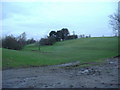
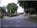
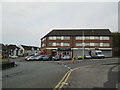
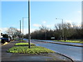
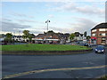
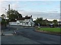
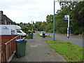
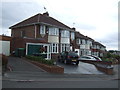
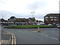
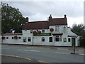
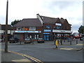
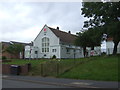
19 photos from this area
Area Information
Key information about the B68 8NQ including its size, population, and administrative classification.
- Area Type
- Postcode
- Area Size
- 7757 m²
- Population
- 1823
- Population Density
- 3861 people/km²
House Prices in B68 8NQ
25
Properties
£112,245
Average Sold Price
£45,000
Lowest Price
£180,000
Highest Price
Showing 25 properties
| Address | Type | Beds | Baths | Last Sale Price | Last Sale Date | |
|---|---|---|---|---|---|---|
| 255 Pound Road, Oldbury, B68 8NQ | house | 3 | 1 | £180,000 | May 2023 | |
| 247 Pound Road, Oldbury, B68 8NQ | Terraced | 3 | 1 | £170,000 | Jun 2021 | |
| 243 Pound Road, Oldbury, B68 8NQ | house | - | - | £103,000 | May 2019 | |
| 245 Pound Road, Oldbury, B68 8NQ | Terraced | 3 | 1 | £129,950 | Jun 2017 | |
| 308 Pound Road, Oldbury, B68 8NQ | Semi-detached | 2 | - | £100,000 | Nov 2016 | |
| 1, Regent House, 316 Pound Road, Oldbury, B68 8NQ | Flat | - | - | £118,500 | Jun 2012 | |
| 6, Monarch House, 314 Pound Road, Oldbury, B68 8NQ | Flat | - | - | £100,000 | Nov 2011 | |
| 6, Regent House, 316 Pound Road, Oldbury, B68 8NQ | Flat | 3 | 1 | £126,000 | Apr 2005 | |
| 4, Monarch House, 314 Pound Road, Oldbury, B68 8NQ | Flat | - | - | £50,000 | Nov 1996 | |
| 249 Pound Road, Oldbury, B68 8NQ | house | - | - | £45,000 | Nov 1995 |
Page 1 of 3
Energy Efficiency in B68 8NQ
Amenities
Schools
| Rank | School | Type | Entry gender | Ages |
|---|
Explore more schools in this area
Go to Schools tabDemographics
Household Size
One person
most common
Accommodation Type
Houses
most common
Tenure
67
majority
Ethnic Group
White
most common
Religion
N/A
most common
Household Composition
N/A
most common
Age
47
median
Adults (30-64 years)
most common
Household Deprivation
N/A
with no deprivation
NS-SEC
28
in Lower managerial occupations
Explore more demographic insights in this area
Go to Demographics tabPlanning
Planning Constraints
- Flood RiskPremium
- Ramsar Wetland SitesPremium
- Area of Outstanding Natural BeautyPremium
- Protected Nature ReservePremium
- Protected WoodlandPremium