Area Overview for B68 8LF
Photos of B68 8LF
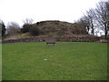
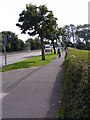
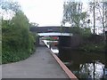
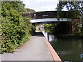
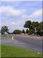
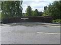
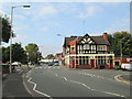
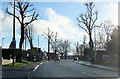
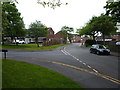
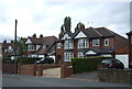
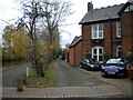
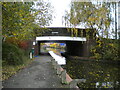
30 photos from this area
Area Information
Key information about the B68 8LF including its size, population, and administrative classification.
- Area Type
- Postcode
- Area Size
- 1.2 hectares
- Population
- 1529
- Population Density
- 3539 people/km²
House Prices in B68 8LF
34
Properties
£108,993
Average Sold Price
£31,000
Lowest Price
£180,000
Highest Price
Showing 34 properties
| Address | Type | Beds | Baths | Last Sale Price | Last Sale Date | |
|---|---|---|---|---|---|---|
| 42 Causeway Green Road, Oldbury, B68 8LF | house | - | - | £120,000 | Mar 2025 | |
| 50 Causeway Green Road, Oldbury, B68 8LF | Terraced | 3 | - | £162,500 | Oct 2024 | |
| 32 Causeway Green Road, Oldbury, B68 8LF | Terraced | 2 | 1 | £136,000 | Aug 2024 | |
| 70 Causeway Green Road, Oldbury, B68 8LF | Terraced | 2 | 2 | £180,000 | Jan 2024 | |
| 48 Causeway Green Road, Oldbury, B68 8LF | Terraced | 3 | 1 | £155,000 | May 2021 | |
| 80 Causeway Green Road, Oldbury, B68 8LF | Bungalow | - | - | £128,000 | May 2021 | |
| 38 Causeway Green Road, Oldbury, B68 8LF | Terraced | 3 | 1 | £132,000 | Jul 2018 | |
| 74 Causeway Green Road, Oldbury, B68 8LF | Terraced | 2 | 1 | £100,000 | Apr 2018 | |
| 36 Causeway Green Road, Oldbury, B68 8LF | house | 3 | 1 | £117,000 | Jan 2018 | |
| 86 Causeway Green Road, Oldbury, B68 8LF | Terraced | 3 | - | £122,000 | Sep 2017 |
Page 1 of 4
Energy Efficiency in B68 8LF
Amenities
Schools
| Rank | School | Type | Entry gender | Ages |
|---|
Explore more schools in this area
Go to Schools tabDemographics
Household Size
One person
most common
Accommodation Type
Houses
most common
Tenure
36
majority
Ethnic Group
White
most common
Religion
N/A
most common
Household Composition
N/A
most common
Age
47
median
Adults (30-64 years)
most common
Household Deprivation
N/A
with no deprivation
NS-SEC
18
in Lower managerial occupations
Explore more demographic insights in this area
Go to Demographics tabPlanning
Planning Constraints
- Flood RiskPremium
- Ramsar Wetland SitesPremium
- Area of Outstanding Natural BeautyPremium
- Protected Nature ReservePremium
- Protected WoodlandPremium