Area Overview for B68 8EB
Photos of B68 8EB
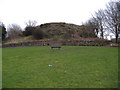
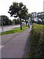
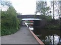
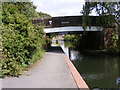

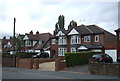
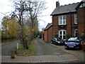
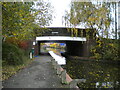
30 photos from this area
Area Information
Key information about the B68 8EB including its size, population, and administrative classification.
- Area Type
- Postcode
- Area Size
- 2.6 hectares
- Population
- 1643
- Population Density
- 5792 people/km²
House Prices in B68 8EB
52
Properties
£186,545
Average Sold Price
£42,000
Lowest Price
£630,000
Highest Price
Showing 52 properties
| Address | Type | Beds | Baths | Last Sale Price | Last Sale Date | |
|---|---|---|---|---|---|---|
| 10 Moat Road, Oldbury, B68 8EB | Semi-detached | 3 | 1 | £220,000 | May 2024 | |
| 49 Moat Road, Oldbury, B68 8EB | Semi-detached | 4 | 2 | £305,000 | Mar 2024 | |
| 19 Moat Road, Oldbury, B68 8EB | Terraced | 4 | 1 | £220,000 | Dec 2023 | |
| 45 Moat Road, Oldbury, B68 8EB | house | - | - | £630,000 | Sep 2022 | |
| 7 Moat Road, Oldbury, B68 8EB | Retail | 3 | 1 | £287,000 | Jul 2022 | |
| 59 Moat Road, Oldbury, B68 8EB | house | - | - | £299,950 | Dec 2020 | |
| 51 Moat Road, Oldbury, B68 8EB | Semi-detached | 3 | 1 | £185,500 | Jul 2020 | |
| 25 Moat Road, Oldbury, B68 8EB | house | - | - | £226,000 | Jun 2019 | |
| 2 Moat Road, Oldbury, B68 8EB | Semi-detached | 3 | 1 | £205,000 | May 2019 | |
| 8 Moat Road, Oldbury, B68 8EB | Semi-detached | 3 | 2 | £143,000 | Mar 2019 |
Page 1 of 6
Energy Efficiency in B68 8EB
Amenities
Schools
| Rank | School | Type | Entry gender | Ages |
|---|
Explore more schools in this area
Go to Schools tabDemographics
Household Size
Family (3-5 people)
most common
Accommodation Type
Houses
most common
Tenure
64
majority
Ethnic Group
White
most common
Religion
N/A
most common
Household Composition
N/A
most common
Age
47
median
Adults (30-64 years)
most common
Household Deprivation
N/A
with no deprivation
NS-SEC
22
in Lower managerial occupations
Explore more demographic insights in this area
Go to Demographics tabPlanning
Planning Constraints
- Flood RiskPremium
- Ramsar Wetland SitesPremium
- Area of Outstanding Natural BeautyPremium
- Protected Nature ReservePremium
- Protected WoodlandPremium