Area Overview for B68 0NY
Photos of B68 0NY
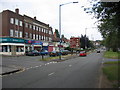
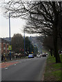
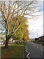
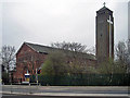
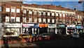
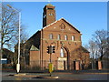
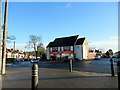
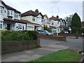
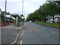
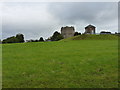
25 photos from this area
Area Information
Key information about the B68 0NY including its size, population, and administrative classification.
- Area Type
- Postcode
- Area Size
- 9603 m²
- Population
- 1585
- Population Density
- 6477 people/km²
House Prices in B68 0NY
23
Properties
£182,241
Average Sold Price
£74,000
Lowest Price
£279,500
Highest Price
Showing 23 properties
| Address | Type | Beds | Baths | Last Sale Price | Last Sale Date | |
|---|---|---|---|---|---|---|
| 37 Birch Road, Oldbury, B68 0NY | Terraced | 3 | 1 | £250,000 | Oct 2022 | |
| 54 Birch Road, Oldbury, B68 0NY | house | - | - | £279,500 | Aug 2022 | |
| 46 Birch Road, Oldbury, B68 0NY | Semi-detached | 3 | - | £270,000 | Jul 2021 | |
| 48 Birch Road, Oldbury, B68 0NY | Semi-detached | 3 | 1 | £225,000 | Sep 2020 | |
| 50 Birch Road, Oldbury, B68 0NY | house | - | - | £260,000 | Oct 2019 | |
| 42 Birch Road, Oldbury, B68 0NY | Semi-detached | 4 | 1 | £264,872 | Jun 2019 | |
| 41 Birch Road, Oldbury, B68 0NY | house | - | - | £184,000 | Mar 2019 | |
| 51 Birch Road, Oldbury, B68 0NY | Semi-detached | 3 | 1 | £156,000 | May 2017 | |
| 40 Birch Road, Oldbury, B68 0NY | Detached | 3 | 1 | £100,000 | Feb 2009 | |
| 58 Birch Road, Oldbury, B68 0NY | Bungalow | - | - | £170,000 | Jan 2003 |
Page 1 of 3
Energy Efficiency in B68 0NY
Amenities
Schools
| Rank | School | Type | Entry gender | Ages |
|---|
Explore more schools in this area
Go to Schools tabDemographics
Household Size
Family (3-5 people)
most common
Accommodation Type
Houses
most common
Tenure
82
majority
Ethnic Group
White
most common
Religion
N/A
most common
Household Composition
N/A
most common
Age
47
median
Adults (30-64 years)
most common
Household Deprivation
N/A
with no deprivation
NS-SEC
37
in Lower managerial occupations
Explore more demographic insights in this area
Go to Demographics tabPlanning
Planning Constraints
- Flood RiskPremium
- Ramsar Wetland SitesPremium
- Area of Outstanding Natural BeautyPremium
- Protected Nature ReservePremium
- Protected WoodlandPremium